What is recorded here
Caherglassaun lough watches a well-preserved earthen ringfort where a two-metre gap may mark the original entrance rather than decay. The bank rises fifteen metres across grassland, suggesting people shaped the land before the lough became the main feature in the local view. Its size is small enough to walk around quickly, yet large enough to exclude casual entry, which is why the fairy-fort name still fits the place.
In grassland overlooking Caherglassaun Lough to the S. Well-preserved subcircular rath (diam. 15.7m) defined by a bank best preserved from W through N to ESE. A gap (Wth 2m) at ENE may be original. A field boundary borders the monument to the NE.
Compiled by: Galway Archaeological Survey, UCG
Date of upload: 12 January 2017
The monument record does not grant public access. Check the route and ask the landowner before entering private land.
- What survives
- Recorded monument
Places near here
 Enclosure in CaherglassaunEnclosure · 291 yd
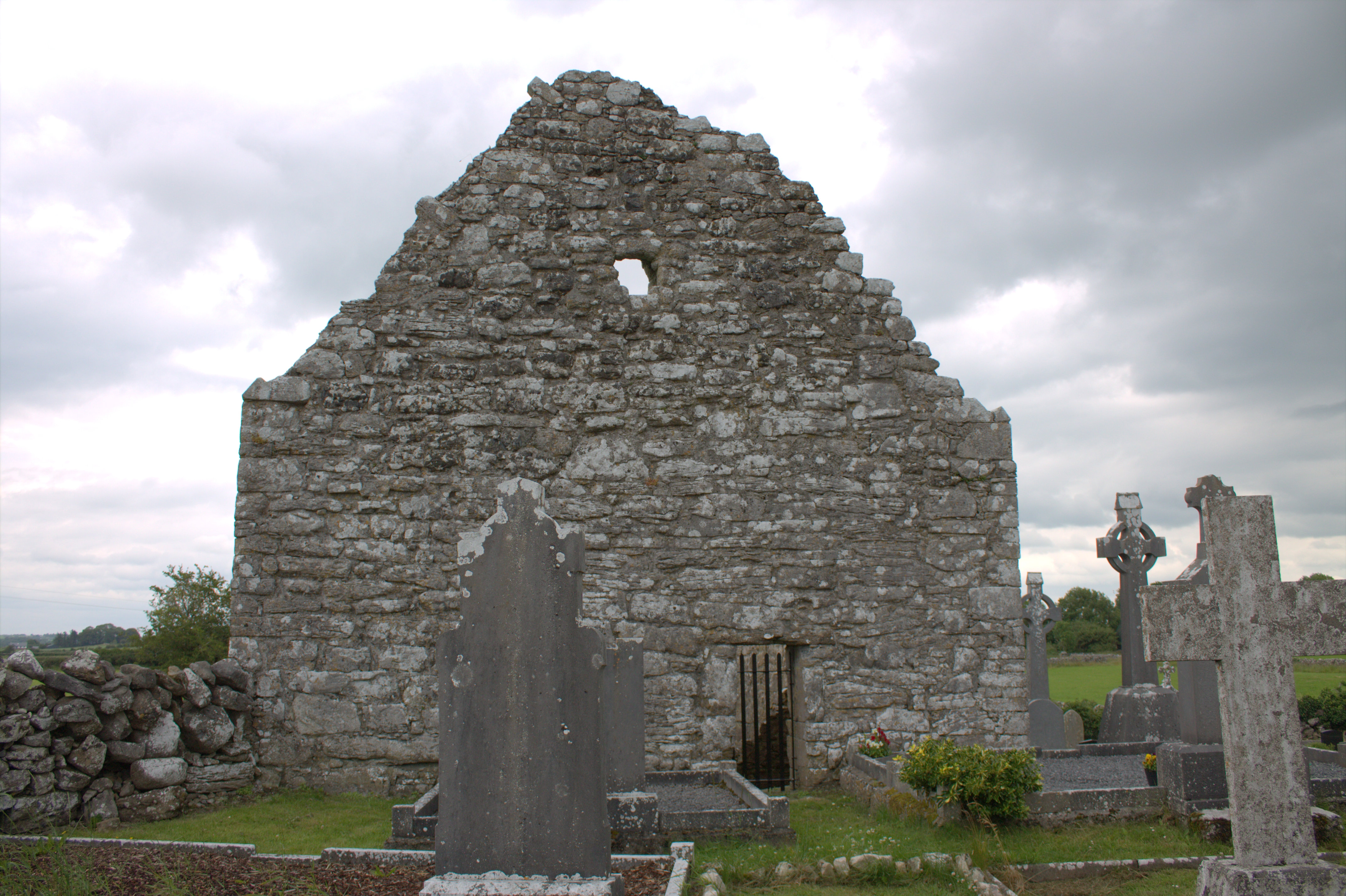 Killomoran Church (in ruins)Church · 777 yd
 Mine in CaherglassaunMine · 799 yd
 Nastaig FortFairy fort / earthen ringfort · 867 yd
 Castle in ruinsCastle, unclassified · 1.4 mi
 Coole-Garryland Nature ReserveNature reserve · 1.5 mi
 European BeechEuropean Beech · 1.8 mi
 Cahererillan CastleCastle · 2.6 mi
 Drumharsna CastleHeritage attraction · 2.9 mi
 Kilmacduagh Monastic SiteVisitor information · 3.9 mi
 Kilmacduagh MonasteryHeritage attraction · 4.0 mi
 Mulroney's IslandIslet · 4.4 mi