What is recorded here
Caherglassaun holds a twenty-four-metre earthen ring where stone-facing still gleams beneath the grass. Two house sites and internal divisions suggest a busy domestic life rather than an empty fairy mound. The eastern gap may be the original entrance, inviting people into a small world already ordered by walls and rooms.
In undulating grassland. A well-preserved circular rath (diam. 24m) defined by a bank of earth and stone and an external fosse; traces of the latter only survive intermittently. Some inner stone-facing is visible at N. A gap (Wth 3.5m) at ESE may be original. Two house sites (GA122-026001- and GA122-026002-) are visible in the interior at W and N, and internal divisions are evident in NE and SE quadrants.
Compiled by: Galway Archaeological Survey, UCG
Date of upload: 12 January 2017
The following images have been uploaded:
GA122-026----_02.jpg View from ENE
GA122-026----_03.jpg View from NNE with tower house (GA122-029----) in centre background
The monument record does not grant public access. Check the route and ask the landowner before entering private land.
- What survives
- Recorded monument
Places near here
 Enclosure in CaherglassaunEnclosure · 246 yd
 Mine in CaherglassaunMine · 714 yd
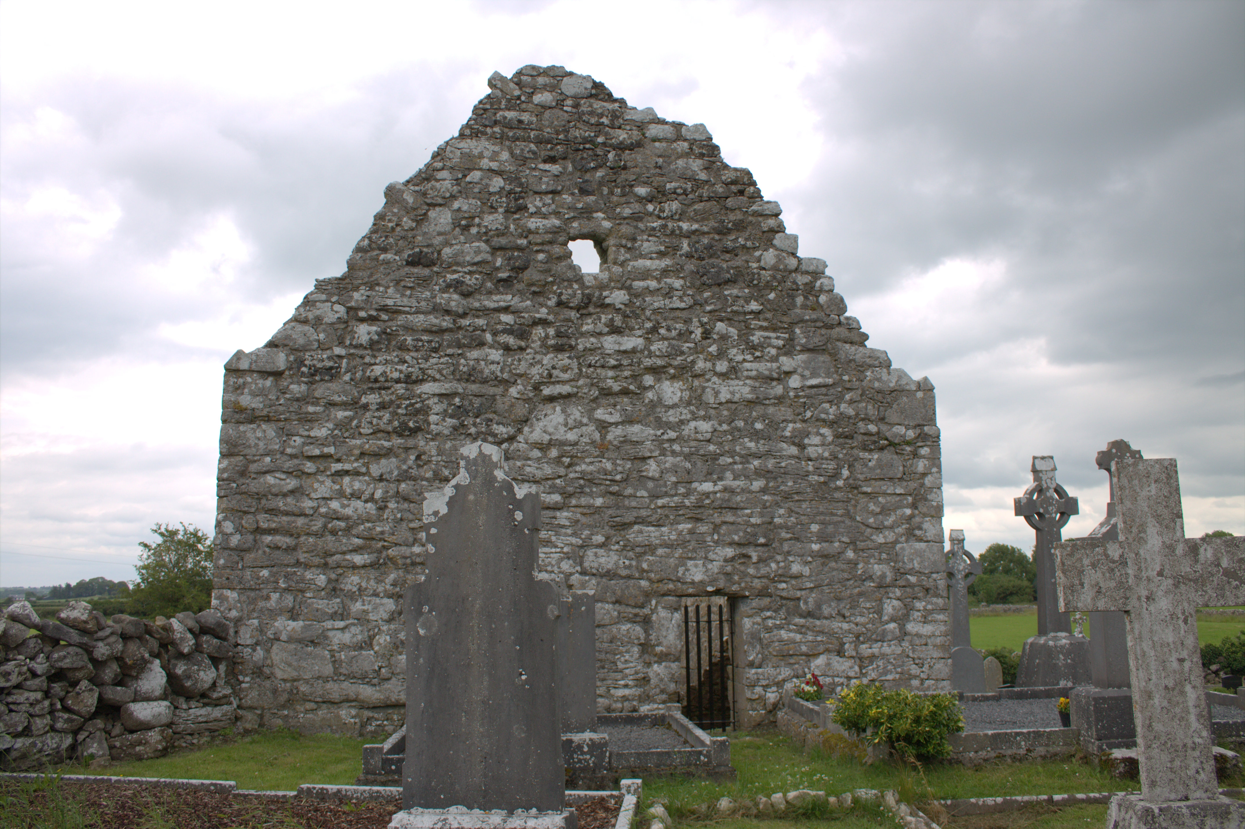 Killomoran Church (in ruins)Church · 890 yd
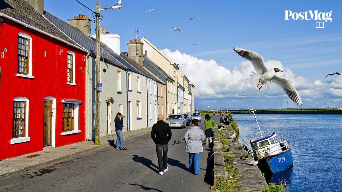 Nastaig FortFairy fort / earthen ringfort · 1064 yd
 Castle in ruinsCastle, unclassified · 1.4 mi
 Coole-Garryland Nature ReserveNature reserve · 1.6 mi
 European BeechEuropean Beech · 1.9 mi
 Cahererillan CastleCastle · 2.5 mi
 Drumharsna CastleHeritage attraction · 2.9 mi
 Kilmacduagh Monastic SiteVisitor information · 4.0 mi
 Kilmacduagh MonasteryHeritage attraction · 4.1 mi
 Mulroney's IslandIslet · 4.3 mi