What is recorded here
Caherbirrane holds a twenty-seven-metre earthen ring on a south-facing slope, its outer bank rising two metres above the pasture while the inner edge drops to eighty centimetres. The structure belongs to the ancient rath tradition, yet dense overgrowth now blocks the interior, hiding whatever life or loss occurred within its circle. It remains a quiet, excluded chamber on the hillside, preserving human memory through absence rather than display.
In pasture, on S-facing slope. Roughly circular raised area (diam. c. 27m) defined by earthen bank (int. H 0.8m; ext. H 2m). Interior inaccessible due to overgrowth.
The above description is derived from the published 'Archaeological Inventory of County Cork. Volume 3: Mid Cork' (Dublin: Stationery Office, 1997). In certain instances the entries have been revised and updated in the light of recent research.
Date of upload/revision: 14 January 2009
The monument record does not grant public access. Check the route and ask the landowner before entering private land.
- What survives
- Recorded monument
Places near here
 DolmenWedge tomb · 958 yd
 Man-made underground passageMan-made underground passage · 965 yd
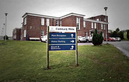 Carraig na Speireoige Chp (in Rns)Church · 1.1 mi
 sign postsign post · 1.6 mi
 Neill's WoodWood · 2.1 mi
 Clonavrick CliffCliff · 2.3 mi
 Carrigaphooca CastleCastle · 3.2 mi
 Curraheen WoodWood · 3.5 mi
 Macroom WalksVisitor information · 3.6 mi
 Macroom Castle (in Ruins)Castle, tower house · 3.7 mi
 Battle of Macroombattle · 3.8 mi
 BurrenMountain / peak · 4.1 mi