What is recorded here
In forestry, on an E-facing slope, on foothills of Carrickabrock. Circular area (diam. 27m) defined by earthen bank (int. H 0.75m; ext. H 1.5m; Wth 3.8m), reduced to scarp (Wth 3.5m; H 1.55m) E-S. Possible entrance (Wth 3m) at N and W (Wth 4m). Trace of fosse (basal Wth 0.75m; overall Wth 3.05m; D 0.3m) SW-W. Interior tends downslope to E with prevalent slope. Occasional rabbit burrows visible in bank. A 10m forestry buffer zone around monument is used as a driving line. A possible Man-made underground passage (TS071-023002-) is associated.
Compiled by: Jean Farrelly
Date of upload: 26 August 2011
The monument record does not grant public access. Check the route and ask the landowner before entering private land.
- What survives
- Recorded monument
Places near here
 SheegounaMountain / peak · 1204 yd
 KnockahunnaMountain / peak · 1535 yd
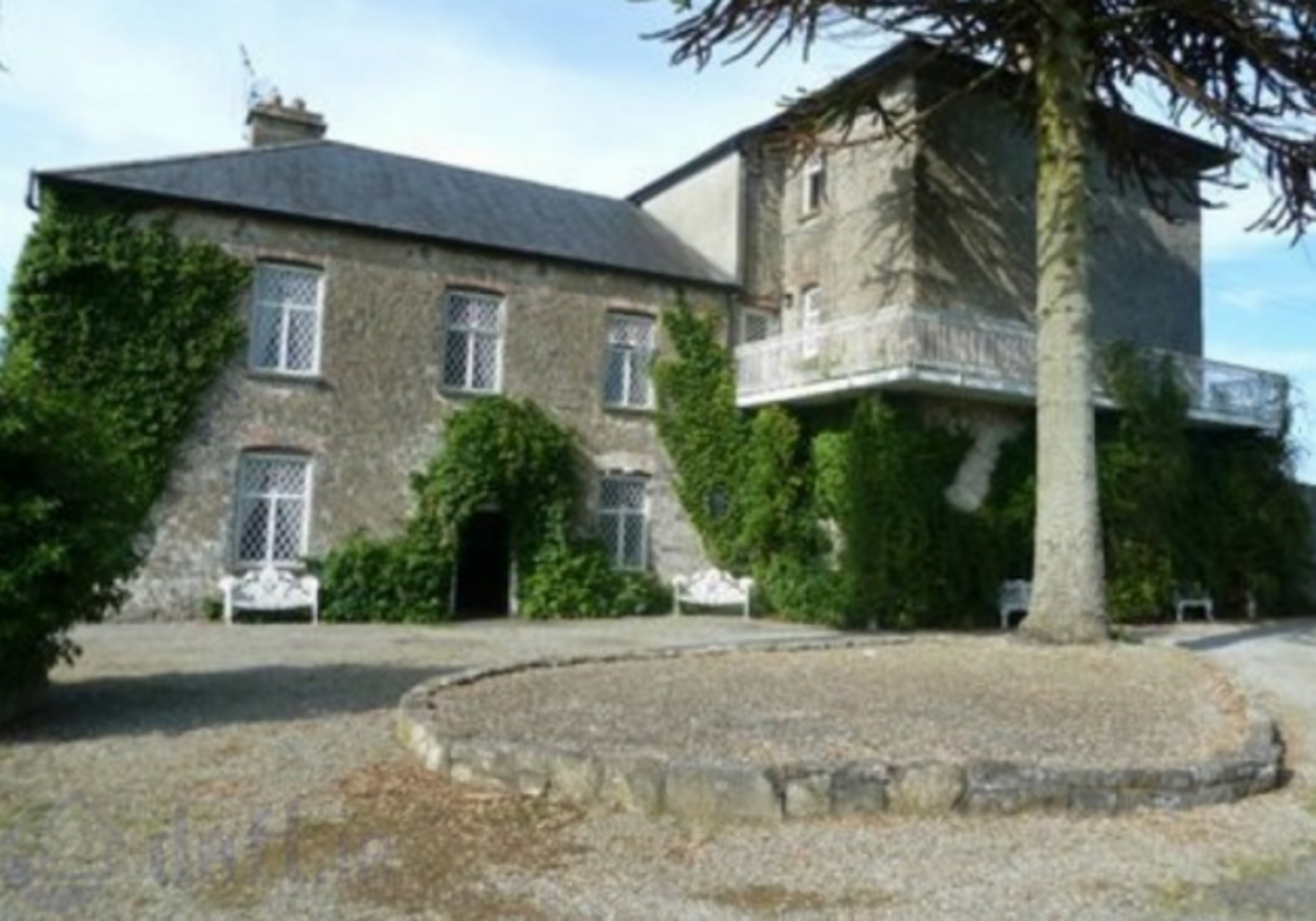 Enclosure in KnockrathkellyEnclosure · 1.8 mi
 Enclosure in MayladstownEnclosure · 2.0 mi
 Drummon Bridgebridge · 2.1 mi
 Whitehall Bridgebridge · 2.2 mi
 Carrigaloe RockNamed rock · 2.2 mi
 Kilcash WoodForest · 2.8 mi
 European ashEuropean ash · 3.0 mi
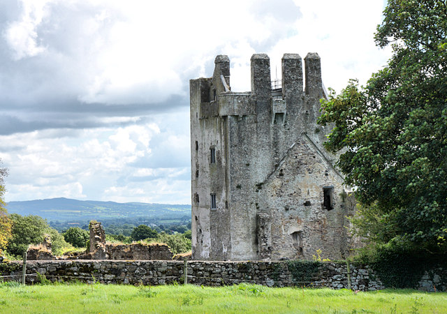 Bawn in KilcashBawn · 3.0 mi
 Kilcash Castle (in ruins)Castle, tower house · 3.0 mi
 The SpoutMemorial · 3.2 mi