What is recorded here
Fairy forts are human places misnamed, often built as dwelling or defense before being forgotten or dismantled. In Bawnmore, a twenty-metre ring was known enough to mark in 1842, then a fieldbank cut through its southern part and the rest faded from later mapping. What remains is a low semi-circle, barely taller than a person, yet distinct enough to show that the land once shaped itself around a boundary. The fairies may have taken the story, but the earth kept the line.
Internal diameter 20m E-W
Situated NE of KE014-086----, this circular enclosure is marked on the 1842 OS map but does not appear on the 1916 edition. The S sector has been cut by a fieldbank running E-W. All that remains today is a semi-circular raised area at a height of 1.3m above the surrounding land.
The above description is derived from C. Toal, ‘North Kerry Archaeological Survey’. Dingle. Brandon in association with FAS Training and Employment Authority (1995), no. 461. In certain instances the entries have been revised and updated in the light of recent research.
Date of upload: 2 August 2013
The monument record does not grant public access. Check the route and ask the landowner before entering private land.
- What survives
- Recorded monument
Places near here
 Faha FortArchaeological place · 595 yd
 CastleCastle, unclassified · 1144 yd
 RathbegArchaeological place · 1420 yd
 Catholic Church of the Sacred Heartchurch/chapel · 1475 yd
 Our Lady's Holy WellSpring · 2.0 mi
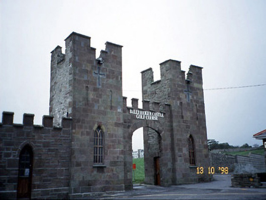 Ballyheige Castlegate lodge · 2.2 mi
 Castle (in ruins)Castle, unclassified · 2.5 mi
 Ardfert FriaryVisitor information · 3.1 mi
 Ardfert Franciscan FriaryVisitor information · 3.1 mi
 Ardfert CathedralHeritage attraction · 3.2 mi
 15th Centenary of the birth of St-BredanMemorial · 3.2 mi
 Statue of Roger CasementMemorial · 3.3 mi