What is recorded here
Thirty-two metres of forgotten constraint survive beneath the soil of Bawnmore. The earth still holds a broad, low ring where human hands once shaped the landscape, though modern ploughing has blurred its edges. The fairies likely reclaimed the fort after the people departed, leaving only a subtle rise for those who know how to look.
Internal diameter 32m N-S, 32.6m E-W
This site is marked on the 1842 OS map as a circular enclosure; it does not appear on the 1916 edition. The site has been much levelled, though it is still quite distinguishable. It consists of a circular area enclosed by a low, wide earthen bank. The width of the bank at its base is 6m-l1m, and the height on average is .9m above the interior. The interior is at a slightly higher level than the surrounding land.
The above description is derived from C. Toal, ‘North Kerry Archaeological Survey’. Dingle. Brandon in association with FAS Training and Employment Authority (1995), no. 460. In certain instances the entries have been revised and updated in the light of recent research.
Date of upload: 2 August 2013
The monument record does not grant public access. Check the route and ask the landowner before entering private land.
- What survives
- Recorded monument
Places near here
 Faha FortArchaeological place · 574 yd
 CastleCastle, unclassified · 1246 yd
 RathbegArchaeological place · 1378 yd
 Catholic Church of the Sacred Heartchurch/chapel · 1447 yd
 Our Lady's Holy WellSpring · 2.0 mi
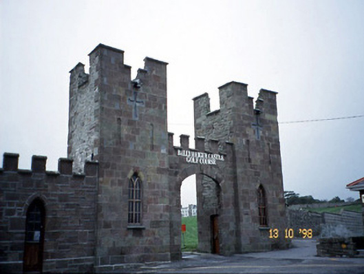 Ballyheige Castlegate lodge · 2.2 mi
 Castle (in ruins)Castle, unclassified · 2.6 mi
 Ardfert FriaryVisitor information · 3.0 mi
 Ardfert Franciscan FriaryVisitor information · 3.1 mi
 Ardfert CathedralHeritage attraction · 3.1 mi
 15th Centenary of the birth of St-BredanMemorial · 3.1 mi
 Statue of Roger CasementMemorial · 3.2 mi