What is recorded here
Thirty-eight metres of packed earth and a water-filled ditch circle a flat grassy chamber on the eastern edge of a narrow Kilkenny valley. The bank rises two and a half metres above the inside, while a three-metre causeway cuts through the northern ditch, inviting entry into a space now thick with thorny scrub and old tree roots. It is the kind of place where a family might have lived, loved, argued and died before the name Ballysallagh was ever spoken. The fort keeps that lost life hidden beneath grass, waiting for someone to walk its ridge and imagine the hands that shaped it.
On the E side of a small valley running N-S, in wet grassland. E of the valley the land rises fairly steeply to highlands and to W it rises gently to rolling grasslands. The fields are a mixture of reclaimed and unreclaimed grassland. There are good views in all directions. An oval ringfort (diam. 38m N-S; 30m E-W) defined by a flat-topped bank (Wth 2m at crest, overall 4.25m; int. H c. 0.5m; ext. H 1-2.3m) and a steep-sided, water-filled fosse (Wth 2m; 0.55-0.7m). The interior is flat and has tree roots and thorny scrub in the N half. There is an entrance (Wth 3m) in the N quadrant with a steeply sloping causeway across the fosse. There is also a break (Wth 3m) in the bank in the S quadrant but no corresponding causeway.
Compiled by: Jean Farrelly
Date of upload: 2 March 2016
The monument record does not grant public access. Check the route and ask the landowner before entering private land.
- What survives
- Recorded monument
Places near here
 Ballysallagh Housecountry house · 537 yd
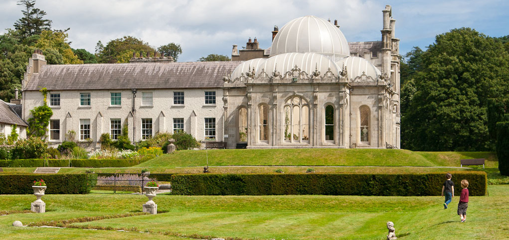 Enclosure in KilderryEnclosure · 550 yd
 The Garden ShedRuins · 560 yd
 Mountnugent MotteArchaeological place · 1731 yd
 St. Mogarra’s WellSpring · 1.4 mi
 Clara CastleCastle, tower house · 1.5 mi
 Gleann Dick ForestForest · 1.6 mi
 The CummerForest · 2.0 mi
 CastleCastle, motte · 2.1 mi
 KilkennyVisitor information · 3.9 mi
 Kilkenny County Council Car ParkVisitor information · 4.1 mi
 Ivan PowerMemorial · 4.2 mi