What is recorded here
Marianne and I walked into Ballynaraha at dusk, following a red mark on my phone. The fort rose beside the road, a shallow ring of earth and grass. We stood inside it while cars passed beyond the bank. Her camera failed, though she had charged it twice. When she looked up, the sky had turned white and the fields disappeared. I grabbed her wrist and pulled her back outside. She dropped the camera and laughed, not in fear but relief. The fort had taken only the picture we tried to keep.
The Archaeological Survey of Ireland (ASI) is in the process of providing information on all monuments on The Historic Environment Viewer (HEV). Currently the information for this record has not been uploaded. To access available information for research purposes please make an appointment in advance with the Archive Unit (open Fridays 10.00 am – 5.00 pm), Department of Housing, Local Government and Heritage, The Custom House, Dublin 1 D01W6XO or email NMarchive@housing.gov.ie.
The monument record does not grant public access. Check the route and ask the landowner before entering private land.
- What survives
- Recorded monument
Places near here
 Ballynaraha Ringfort (Rath)Archaeological place · 6 yd
 Haggard Ringfort (rath)Archaeological place · 905 yd
 Mullennahone GorseForest · 1188 yd
 Castle (Site of)Castle, unclassified · 1265 yd
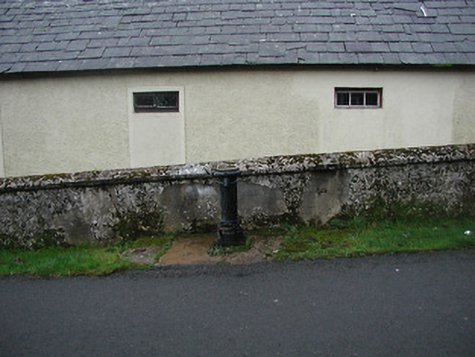 water pumpwater pump · 1.0 mi
 Church in GraiguenakillChurch · 1.1 mi
 CastleCastle, tower house · 2.2 mi
 Tory HillMountain / peak · 3.0 mi
 Kennedy HomesteadHeritage attraction · 3.1 mi
 Partridge HillMountain / peak · 3.7 mi
 The GroveWood · 4.4 mi
 Dunbrody Famine Ship Visitor CentreHeritage attraction · 5.5 mi