What is recorded here
No fairy is named in the facts, but the fort keeps its shape beneath pasture and bramble. A person may have walked through the wide eastern breach with cattle, using the oval bank as a temporary trap for life and weather. The missing western edge does not remove the place; it hands the fort over to imagination, where the unfinished circle becomes a chamber for unseen guests.
In pasture, at W foot of low N-S ridge. Roughly oval area (19.4m N-S; 14.7m E-W) enclosed by earth-and-stone bank (int. H 1m; ext. H 2.6m) with external fosse (Wth 1m; D 0.2m); fosse truncated on W side by N-S field boundary. Enclosing element obscured by dense overgrowth on W side; otherwise bank partially clad with brambles. Profile of bank uneven due to slumping, especially noticeable at NW. Breach in bank (Wth 6.6m) E->SE (shown on 1923 OS 6-inch map); no other entrance evident but width of opening suggests widened to allow cattle access interior. Level interior under pasture.
Compiled by: Denis Power
Date of upload: 26 August 2011
The monument record does not grant public access. Check the route and ask the landowner before entering private land.
- What survives
- Recorded monument
Places near here
 St. Patricks Church (in ruins)Church · 574 yd
 Grave YardGraveyard · 576 yd
 St. Patricks SeatRitual site, holy/saint's stone · 585 yd
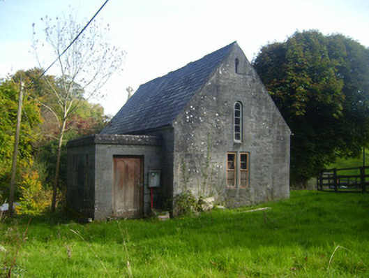 Foynes Church (Shanagolden)church/chapel · 1206 yd
 Foynes Flying Boat & Maritime MuseumMuseum · 1534 yd
 Foynes Island ViewpointViewpoint · 1.0 mi
 Gammarel PointHeadland · 1.4 mi
 Foynes IslandIsland · 1.5 mi
 Robertstown Castle (in ruins)Castle, tower house · 1.6 mi
 Battery PointHeadland · 1.6 mi
 Monterey CypressMonterey Cypress · 1.7 mi
 Dysert Castle (in ruins)Castle, tower house · 2.6 mi