What is recorded here
Magic and mystery surround the area. Ballynacarhagh has two ringforts close together on a hillside above marshy pasture. One is partially hidden by trees and cattle gaps, but both remain visible in the land. The area feels like a threshold between worlds, where the ordinary and extraordinary blend.
On a S-facing slope near the top of a hill in a clearing within a coniferous tree plantation; surrounded by hilly undrained marshy pasture. Hachured on the 1916 ed. of the OS 6-inch map. Listed as ‘enclosure’ in the RMP (1996).
A circular rath (diam. 26.5) defined by a low round-topped earthen bank (Wth 2.5m; int. H 0.2m; ext. H 0.4m) and external flat-bottomed waterlogged fosse (Wth 2m). Multiple cattle gaps run through the bank. A field boundary shown in the E half of the interior on the mapping has been levelled. Trees have been planted right up to the fosse between N and E. Another rath (CL016-080----) lies c. 40m to the SSE.
The following image has been uploaded: CL016-079----_01.jpg View from SW (CL016-079---- is visible to left and CL016-080---- to right)
Compiled by: Olive Alcock and Lynda McCormack
Date of upload: 9 May 2022
A fairy fort or earthen ringfort in Ballynacarhagh is a circular earthwork likely dating to the early medieval period, used as a defensive or domestic site. It is associated with local folklore surrounding fairies and other supernatural beings, common in Irish tradition for such sites.
The monument record does not grant public access. Check the route and ask the landowner before entering private land.
- What survives
- Recorded monument
Places near here
 Saint Attracta's Catholic Churchchurch/chapel · 289 yd
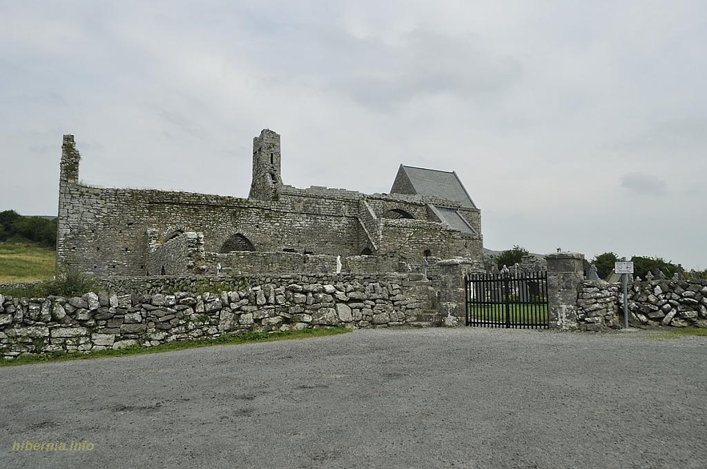 Knockaunacurra FortFairy fort / ringfort · 470 yd
 Inchovea Castle (in ruins)Castle, unclassified · 926 yd
 Toormore FortFairy fort / earthen ringfort · 1258 yd
 Kiltoraght Church (in ruins)Church · 1526 yd
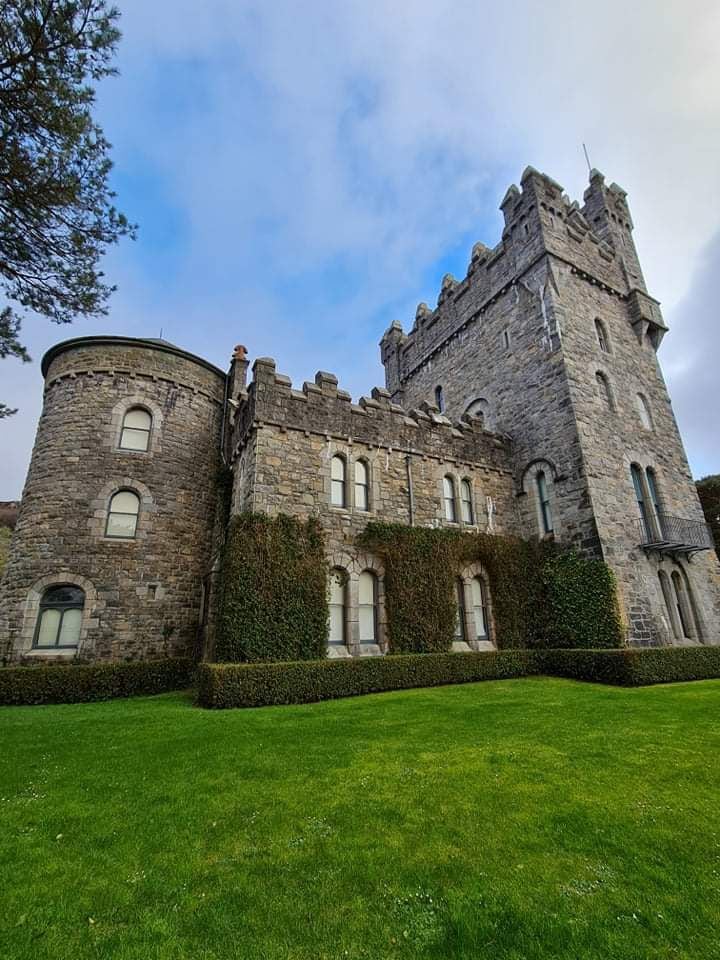 Tullagh Castle (in ruins)Castle, unclassified · 1.2 mi
 Fergus River CaveCave · 2.6 mi
 Burren Centre KilfenoraVisitor information · 2.8 mi
 High CrossHeritage attraction · 2.8 mi
 Inchiquin IslandIslet · 3.6 mi
 Rock IslandIsland · 3.7 mi
 European ashEuropean ash · 3.8 mi