What is recorded here
No visible trace of the cave marked on old maps remains, though the circular rath still stands twenty-three and a half metres wide in level Galway pastureland. Two banks of earth and stone frame a central ditch, while a narrow southeast gap invites entry past a stone-faced inner wall. The structure preserves much more than imagination, resisting the fading of time despite the disappearance of its hidden companion.
In level pastureland. Well-preserved circular rath (diam. 23.5m) defined by two banks of earth and stone and an intervening fosse. The inner face of the inner bank is stone-faced. A stone-lined causewayed entrance gap (Wth 1.6m) is evident at SE. No visible surface trace of the ‘Cave’ (GA114-015001-) marked in the interior on the OS maps survives.
Compiled by: Galway Archaeological Survey, UCG
Date of upload: 4 January 2017
The monument record does not grant public access. Check the route and ask the landowner before entering private land.
- What survives
- Recorded monument
Places near here
 Man-made underground passage in Ballymaquiff NorthMan-made underground passage · 441 yd
 CaveMan-made underground passage · 500 yd
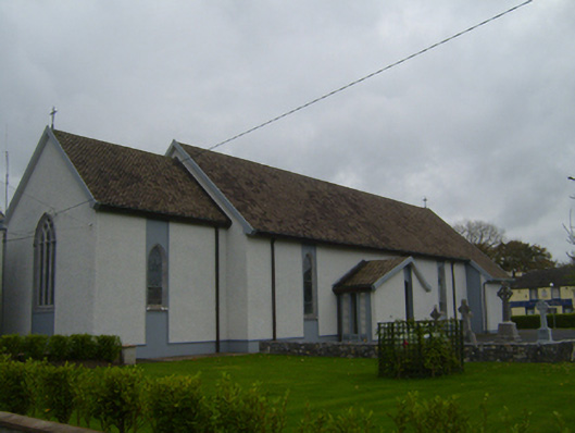 Saint Teresa's Catholic Churchchurch/chapel · 595 yd
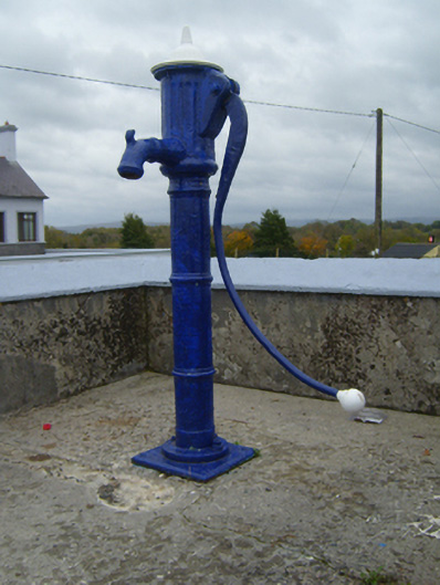 water pumpwater pump · 667 yd
 Ballymaquiff CastleCastle · 1173 yd
 HawthornHawthorn · 1.4 mi
 European ashEuropean ash · 1.4 mi
 Castle (in ruins)Castle, Anglo-Norman masonry castle · 1.6 mi
 Drumharsna CastleHeritage attraction · 1.6 mi
 Mulroney's IslandIslet · 5.9 mi
 Drumacoo Monastic SiteHeritage attraction · 5.9 mi
 Kilmacduagh Monastic SiteVisitor information · 6.8 mi