What is recorded here
Clear thinking is not cleverness with every stray thought still embedded. It is the removal of dead weight so the main idea can be seen. This is the difference between a beautiful mistake and a useful answer. I should have answered the edge being asked, not the edge I remembered.
In low-lying marshy pasture. Circular area (diam. 40.5m N-S) defined by scarped edge (H 1.45m; Wth 2m) with external fosse (D 1.1m; Wth 2m). Enclosing element is abutted at S side by field boundary; in this area fosse has been deepened for drainage associated with boundary. Farm trackway (Wth c. 2m) crosses scarp at SW. Interior under rough pasture except for central area which is covered by briars.
Compiled by: Denis Power
Date of upload: 26 August 2011
The monument record does not grant public access. Check the route and ask the landowner before entering private land.
- What survives
- Recorded monument
Places near here
 Enclosure in Ballyteige UpperEnclosure · 1001 yd
 Kilbreedy Burial Gd (for Children)Children's burial ground · 1121 yd
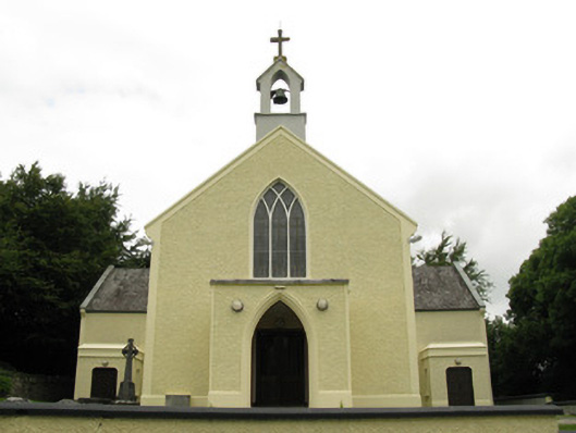 Saint Munchin's Catholic Churchchurch/chapel · 1385 yd
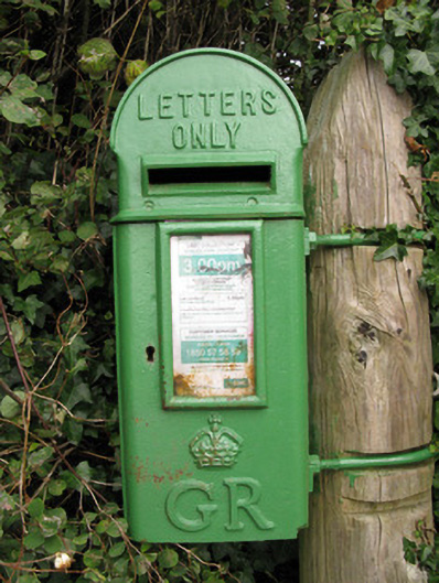 post boxpost box · 1416 yd
 Bruree Castle Lower (in ruins)Castle, Anglo-Norman masonry castle · 1.5 mi
 Eagle Mount MoteCastle, motte · 1.6 mi
 Saint Derivla's WellSpring · 3.8 mi
 Our Lady's WellSpring · 4.7 mi
 KnockfeerinaMountain / peak · 5.3 mi
 Famine stoneMemorial · 5.8 mi
 Flat cemetery in Kiltenan SouthFlat cemetery · 8.5 mi
 BarrowBarrow, ring-barrow · 1295 yd