What is recorded here
Fairy fort in Ballydaheen, County Cork: a roughly circular earthen ring about 34 metres wide, marked on the 1842 Ordnance Survey map and later levelled around the 1940s according to local information. What remains is a low rise, a shallow outer ditch and a field boundary that still catches the eye in grass and rain. It is the kind of place people once called a fairy fort, not because it is proven magical, but because ordinary farms kept shapes they did not make.
In level pasture. Depicted as hachured circular raised area, incorporated into townland boundary ENE->S on 1842 OS 6-inch map. According to local information, levelled c. 1940s. Roughly circular area (34m E-W; 30m N-S) defined by low rise (H 0.35m) S->NE; low earthen field boundary (H 0.5m) NE->S, built within living memory. Low rise clearly visible due to differential growth pattern. External fosse survives as shallow depression WSW->NE.
The above description is derived from the published 'Archaeological Inventory of County Cork. Volume 4: North Cork' (Dublin: Stationery Office, 2000). In certain instances the entries have been revised and updated in the light of recent research.
Date of upload/revision: 14 January 2009
The monument record does not grant public access. Check the route and ask the landowner before entering private land.
- What survives
- Recorded monument
Places near here
 IndicatedMoated site · 212 yd
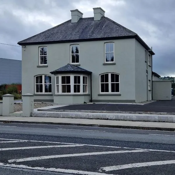 St. Colmans WellHoly well · 933 yd
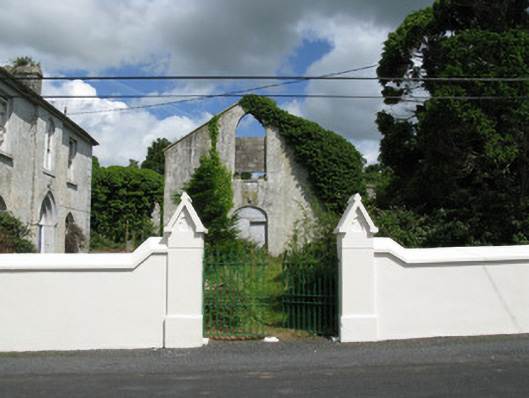 Colmanswell Catholic Churchchurch/chapel · 1094 yd
 Gortskagh Houseoutbuilding · 1190 yd
 TumulusCastle, motte · 1.7 mi
 Bawn in CregganeBawn · 1.9 mi
 Holy Cross CemeteryGraveyard · 2.4 mi
 Saint Derivla's WellSpring · 3.9 mi
 ToberSpring · 4.4 mi
 BallinaboolaVisitor information · 5.9 mi
 CarrigeenMountain / peak · 6.4 mi
 National Co-op MuseumMuseum · 7.9 mi