What is recorded here
Danish Fort in Ballybride Upper is a lost earthen ringfort, remembered only through a curved field boundary and an old map label. It stood on elevated pasture with clear views in every direction, close enough to another rath for the two marks to have belonged in the same lived landscape. The earth has taken back most of its shape, but the name still points to a fort somebody built, defended or simply owned beneath the grass.
In pasture, on elevated ground with good views in all directions. Shown as a circular enclosure, named 'Danish Fort', on a 1773-4 map (no. 5) by B. Scalé (NLI MSS 7216-18). This possible rath is not visible at ground level. A curve in the field boundary immediately to the S may be associated. Another rath (CO036-031----) is located 40m to the SE.
The above description is derived from 'The Archaeological Inventory of County Cork. Volume 5' (Dublin: Stationery Office, 2009).
Date of upload: 22 December 2009
A fairy fort or earthen ringfort in Ballybride Upper, likely dating to the early medieval period, is recorded on a 1773–74 map as a circular enclosure called 'Danish Fort'. Local tradition and historical references associate such sites with both ancient habitation and later folklore surrounding fairies and supernatural beings.
The monument record does not grant public access. Check the route and ask the landowner before entering private land.
- What survives
- Recorded monument
Places near here
 Moated site in Ballybride UpperMoated site · 1187 yd
 Enclosure in Aghern EastEnclosure · 1644 yd
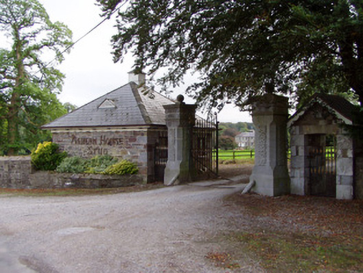 Aghern Housedemesne walls/gates/railings · 1.1 mi
 Saint James' Churchhchurch/chapel · 1.2 mi
 Aghern CastleCastle · 1.3 mi
 Aghern CemeteryWood · 1.4 mi
 Conna Castle (in Ruins)Castle, tower house · 1.8 mi
 Castlebrook forestWood · 2.1 mi
 Natural heritage of CoolagowanVisitor information · 2.4 mi
 Life Space ParkPicnic place · 2.5 mi
 Graveyard in Curraheen (kinnatalloon By.)Graveyard · 2.5 mi
 Saint Micheal's Holy WellSpring · 4.1 mi