What is recorded here
Ardnagall’s earthen ringfort stands on a grassy hillock, its subcircular bank and partial fosse still marking a boundary people drew centuries before modern fields cut through it. The gaps in the rampart suggest later reuse or neglect rather than ancient design, yet the shape remains clear enough to imagine lives lived inside: firelight, work, argument, birth, death, and the quiet certainty that a small strong place could endure long after its makers vanished.
On the top of a hillock in rolling grassland. Subcircular rath (E-W 26.5m, N-S 25.2m), in fair condition, defined by a bank and external fosse; the latter survives from N through E to SSW. Numerous gaps in the bank appear modern. A field boundary cuts the monument at NNE and SSW.
The above description is derived from the published 'Archaeological Inventory of County Galway Vol. II - North Galway'. Compiled by Olive Alcock, Kathy de hÓra and Paul Gosling (Dublin: Stationery Office, 1999).
Date of upload: 05 August 2010
The monument record does not grant public access. Check the route and ask the landowner before entering private land.
- What survives
- Recorded monument
Places near here
 Enclosure in Grange (doonbally Ed)Enclosure · 1148 yd
 Cross in Kilcloony (dunmore By.)Cross · 1222 yd
 Bawn in Kilcloony (dunmore By.)Bawn · 1720 yd
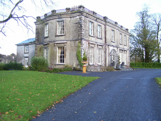 Quarrymount Househouse · 1.2 mi
 Site of Doonbally CastleCastle, unclassified · 1.2 mi
 Massmore Househouse · 1.6 mi
 European ashEuropean ash · 3.6 mi
 Mass RockNamed rock · 5.3 mi
 KnockmaaWood · 8.6 mi
 Knockmoy AbbeyHeritage attraction · 11 mi
 Kilcoona Round TowerHeritage attraction · 12 mi
 Enclosure in Kilcloony (clonmacnowen By.),quarrymountEnclosure · 1623 yd