What is recorded here
In undulating pasture, on top of a ridge. A slightly raised oval area (19m SE-NW; 29m NE-SW) enclosed by a gapped earthen bank (Wth 4m; int. H 0.8m; ext. H 1.2m) W-SE and by a scarp (H 1.1m) S-W. There is a gap (Wth 3m) at SE. The line of a silted-up external fosse is evident as a band of irises (Wth 3m) along the N arc. The N half of the interior is covered in irises. There is a Man-made underground passage (SL034-108002-) in the SE quadrant. Another rath (SL034-110----) lies c. 10m to the SE with a passage tomb (SL034-109----) in between. A NW-SE field boundary is close to the SW side.
The above description is derived from the published 'Archaeological Inventory of County Sligo' compiled by Ursula Egan, Elizabeth Byrne, Mary Sleeman with Sheila Ronan and Connie Murphy (Dublin Stationery Office, 2005).
Date of upload: 18 January 2008
The monument record does not grant public access. Check the route and ask the landowner before entering private land.
- What survives
- Recorded monument
Places near here
 Cave (Site of)Man-made underground passage · 4 yd
 Enclosure in ArdloyEnclosure · 557 yd
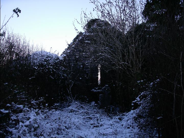 Church (in Ruins)Church · 1.3 mi
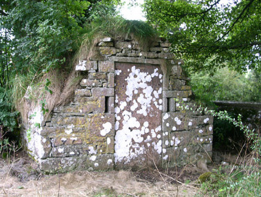 mausoleummausoleum · 1.3 mi
 Bricklieve Castle (in Ruins)Castle, unclassified · 1.6 mi
 Castle BaldwinCastle · 1.9 mi
 Riverstown Folk ParkHeritage attraction · 2.1 mi
 School CaveCave · 2.4 mi
 Kesh CorannMountain / peak · 2.9 mi
 Annaghgowla IslandIslet · 3.0 mi
 Treanscrabbagh caveCave · 3.0 mi
 Bricklieve MountainsMountain / peak · 3.2 mi