What is recorded here
Situated on slight S-facing slope in gently undulating pasture. Slightly raised, circular area (dims. 39m N-S; 40 E-W) enclosed by an internal bank of earth and stone (Wth 2.15m; int. H 0.4m). From SSE-S-W and at E there is an external bank of earth and stone (Wth1.8m; H 0.4m). From SSE-S-W and at E, a fosse (Wth 2.8m) survives between internal and external bank. A break (Wth 3.5m) in the internal bank at SE with a partial causeway across the fosse marks the position of the original entrance. The site is divided into two portions by a gently curving E-W orientated drystone field wall that crosses the internal bank at W and ESE. A small quarry lies to S of centre in the interior with another within internal bank at NE. A Man-made underground passage (SL013-057003-) is located immediately to S of centre in the interior within the quarried area on the N side of the dividing wall.
Compiled by: Mark Keegan
Date of upload: 19 January 2011
The monument record does not grant public access. Check the route and ask the landowner before entering private land.
- What survives
- Recorded monument
Places near here
 CaveMan-made underground passage · 215 yd
 Enclosure in ArdabroneEnclosure · 244 yd
 CastleCastle, Anglo-Norman masonry castle · 1296 yd
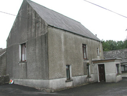 Stand Househouse · 1442 yd
 Saint Adamnan's Catholic Churchchurch/chapel · 1533 yd
 Bawn in CarrowbrickeenBawn · 1.2 mi
 Dunmoran StrandBeach / strand · 1.9 mi
 Derkmore PointHeadland · 1.9 mi
 Giant's GraveArchaeological place · 2.1 mi
 Lahanacappul IslandIslet · 2.5 mi
 Portavaud PointHeadland · 2.5 mi
 Valley WoodForest · 2.7 mi