What is recorded here
Fairy fort in An Bhráid Íochtarach, County Donegal: an almost circular raised area, internal diameter 18.3m, enclosed by an earthen bank up to 0.6m high and an external fosse up to 3.4m wide on the east and northeast. A modern wall sits on the bank from south to southwest, while a 1.6m gap in the southeast is probably the original entrance, its southern edge marked by two rectangular stones. It stands on a ridge of good pasture at the east end of Glencolumbkille valley, commanding the land below.
Internal diam. 18.3m. An almost circular raised area enclosed by an earthen bank up to .6m in height and an external fosse up to 3.4m wide on the E and NE but not evident elsewhere. A modern wall has been built on the bank from S to SW. A 1.6m gap in the SE is probably the original entrance. Two rectangular stones define its edge on the S side. The site is located on a ridge of good pasture with a commanding view at the E end of Glencolumbkille valley.
The above description was derived from the 'Archaeological Survey of County Donegal. A description of the field antiquities of the County from the Mesolithic Period to the 17th century.' Compiled by: Brian Lacey with Eamon Cody, Claire Cotter, Judy Cuppage, Noel Dunne, Vincent Hurley, Celie O'Rahilly, Paul Walsh and Seán Ó Nualláin (Lifford: Donegal County Council, 1983). In certain instances the entries have been revised and updated.
Date of upload: 22 September 2008
The monument record does not grant public access. Check the route and ask the landowner before entering private land.
- What survives
- Recorded monument
Places near here
 Enclosure in An Bhráid UachtarachEnclosure · 935 yd
 Church in LeathchoillChurch · 953 yd
 Enclosure in LeathchoillEnclosure · 1063 yd
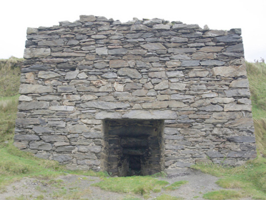 kilnkiln · 1.3 mi
 Glencolmcille Old GraveyardGraveyard · 1.5 mi
 Trá an GhleannaBeach / strand · 2.1 mi
 Glencolmcille Folk VillageMuseum · 2.2 mi
 An Trá Bheag (Trá Bheag an Ghleanna)Beach / strand · 2.4 mi
 CroaghstraleelMountain / peak · 2.7 mi
 Slieve LeagueMountain / peak · 3.9 mi
 An Tor MórIslet · 4.0 mi
 Slieve League SE TopMountain / peak · 4.0 mi