What is recorded here
Located on the summit of a small drumlin. A small embanked enclosure (ext. diam. c. 30m) is depicted on the 1834 edition of the OS 6-inch map where it is described in gothic lettering as a ‘fort’. It was destroyed by a WNW-ESE railway cutting and no archaeological feature survived in the 1940s (SMR file).
The above description is derived from the published 'Archaeological Inventory of County Monaghan' (Dublin: Stationery Office, 1986). In certain instances the entries have been revised and updated in the light of recent research.
Date of revision: 26 January 2018
Revised by: Michael Moore
This remains an important historical record, but the official description says the monument is no longer visible or has been destroyed. The monument record does not grant public access. Check the route and ask the landowner before entering private land.
- What survives
- No visible remains or recorded as destroyed
Places near here
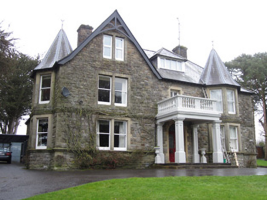 Sunnymeade Househouse · 122 yd
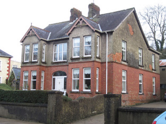 Sunnyside Househouse · 440 yd
 IndicatedFairy fort / earthen ringfort · 446 yd
 Bawn in CrossmoyleBawn · 580 yd
 Abbey RuinsHeritage attraction · 670 yd
 Burial in CrossmoyleBurial · 683 yd
 The Cassandra Hand CentreMuseum · 737 yd
 CastleCastle, motte and bailey · 900 yd
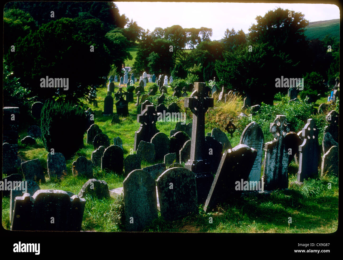 Clontivrin Grave YardArchaeological place · 1.6 mi
 Saint John's WellSpring · 1.7 mi
 European YewEuropean Yew · 1.8 mi
 KillycoonaghWood · 1.9 mi