What is recorded here
Fairy fort in Agharaskilly, County Cavan: a 22-metre circular grass mound on the west bank of the Woodford River, still marked by an overgrown earthen bank in places and a vanished perimeter in others. The river once left a small relict channel beside it, suggesting water, life and change around this quiet ring. Local tradition may call it a fairy fort, but the earth itself records only human shaping, patience and loss.
Situated on level low-lying ground on the W bank of the Woodford River, with a small relict channel of the river just to its W. This is a circular grass-covered raised area (diam. c. 22m) defined by an overgrown earthen bank (at N: Wth 3.1m; int. H 0.7m) which is largely reduced to an overgrown scarp (H 0.7m) S-NW, but the perimeter has been removed elsewhere.
Compiled by: Michael Moore
Date of upload: 1 December 2017
A fairy fort or earthen ringfort in Agharaskilly is a circular, grass-covered raised earthwork, likely dating to the early medieval period, used as a small defensive or agricultural settlement. Local folklore may associate it with fairy legend, as suggested by its name, though specific traditions are not recorded.
This remains an important historical record, but the official description says the monument is no longer visible or has been destroyed. The monument record does not grant public access. Check the route and ask the landowner before entering private land.
- What survives
- No visible remains or recorded as destroyed
Places near here
 Ballyheady CairnArchaeological place · 1181 yd
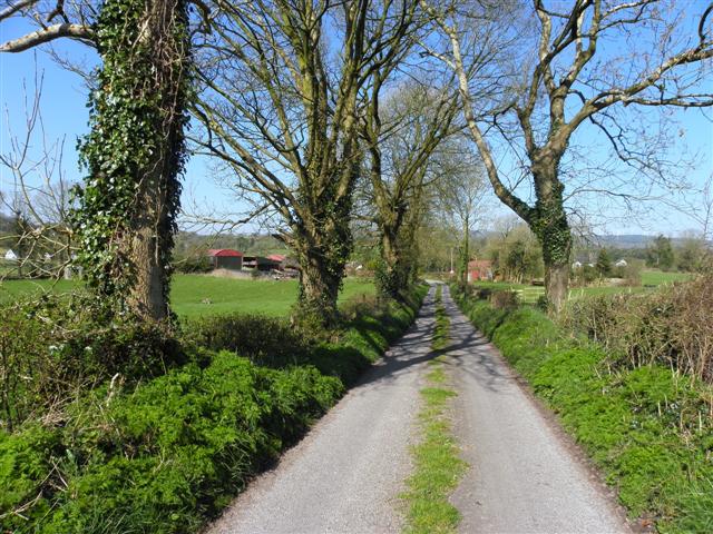 Enclosure in KillarahEnclosure · 1500 yd
 Bellaheady MountainMountain / peak · 1686 yd
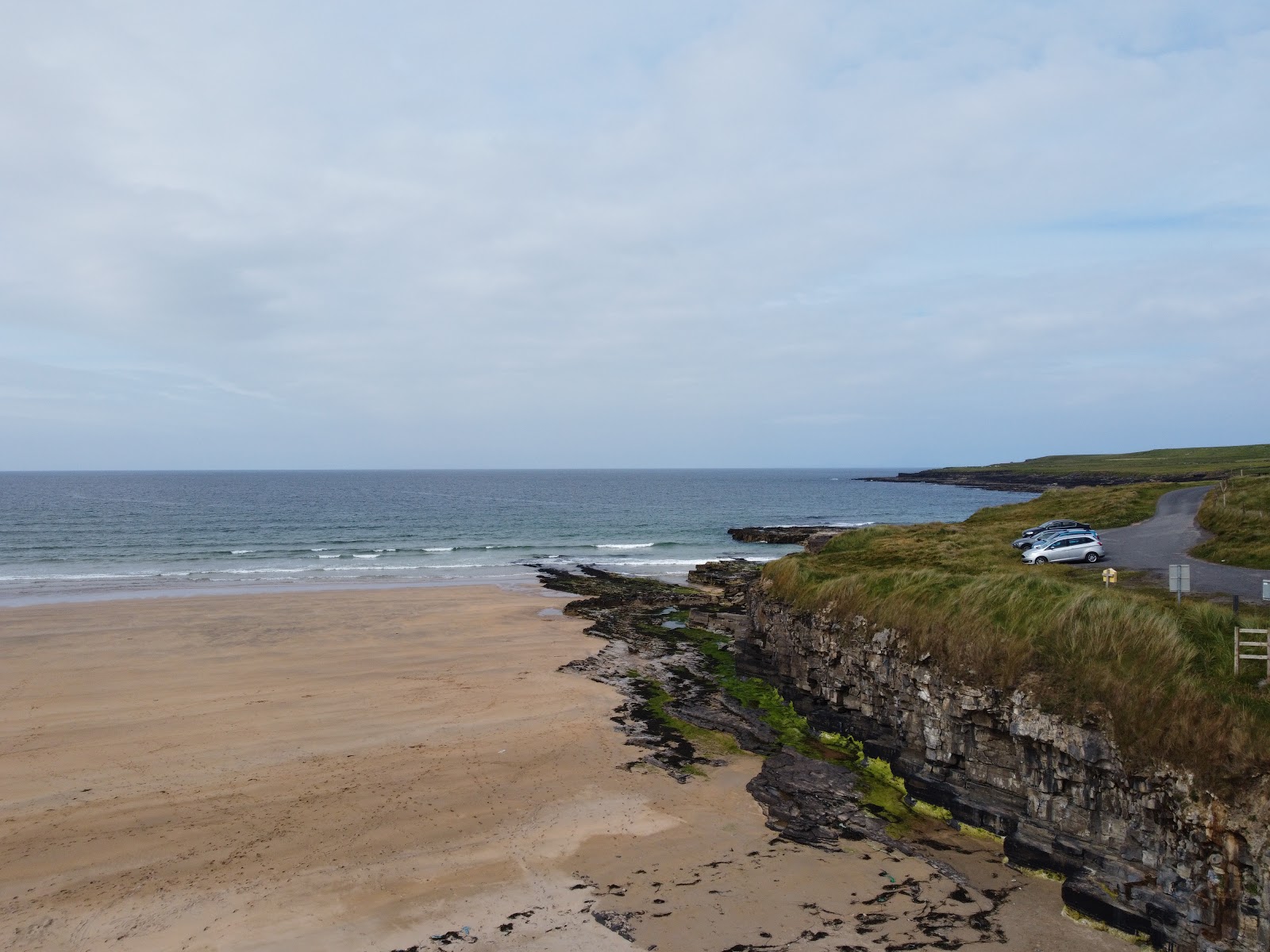 Carrowmore Lecharrownahone ForestForest · 1.0 mi
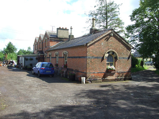 station master's house, railway stationstation master's house, railway station · 1.3 mi
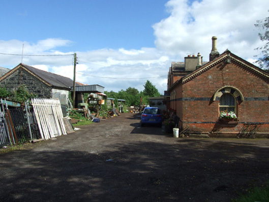 Neary Engineering Ltdstore/warehouse · 1.3 mi
 Killarah ForestForest · 1.3 mi
 Killycluggin StoneVisitor information · 1.5 mi
 Kieran Doherty TD Cavan Monaghan MemorialMonument · 1.7 mi
 LissanoverCastle, unclassified · 1.8 mi
 Bilberry HillMountain / peak · 1.9 mi
 Saint Mogue's IslandIslet · 3.0 mi