What is recorded here
Antrim clay still holds the shape of a sixteenth-century ditch and seventeenth-century bastion, waiting for boots and patience. Men may have bled on that ridge or children may have skipped stones across it, but the mud remembers weight and pressure long after names fade. Excavation is not display; it is conversation with dead hands.
The official Northern Ireland record identifies this as EXCAVATION SITE - CF 27 - C16th town ditch & C17th town wall & bastion.. Recorded period: MEDIEVAL; POST-MED. The official map point was placed at the centre of the recorded archaeological site from the source map reference.
The monument record does not grant public access. Check the route and ask the landowner before entering private land.
- What survives
- Recorded monument
Places near here
 Carrickfergus MuseumMuseum · 78 yd
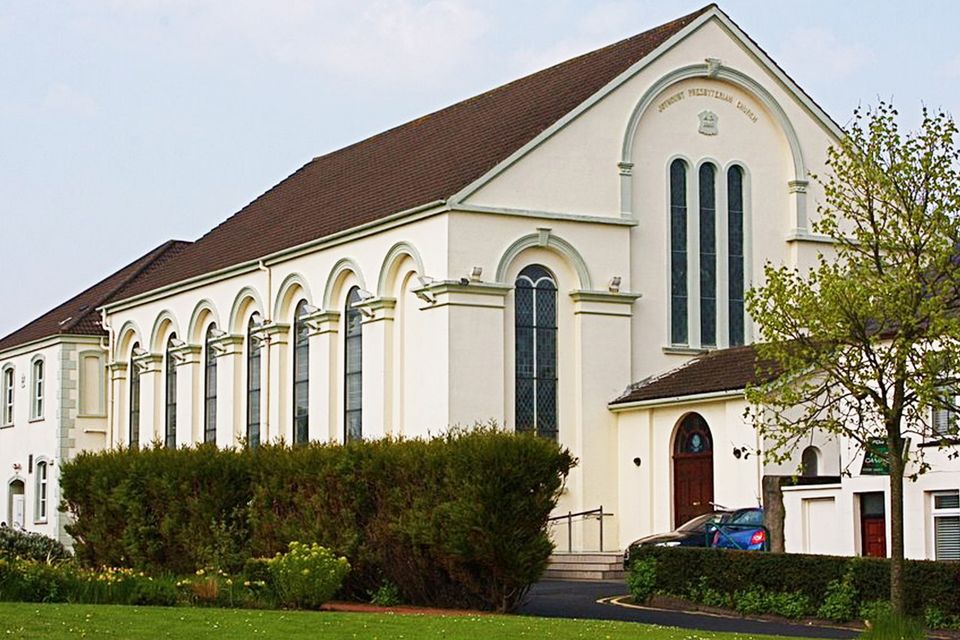
 First Presbyterian ChurchChurch · 105 yd
 Siege of Carrickfergussiege · 142 yd
 FORTIFIED HOUSE built on FRANCISCAN FRIARY: JOYMOUNT in CarrickfergusFORTIFIED HOUSE built on FRANCISCAN FRIARY: JOYMOUNT · 148 yd
 Carrickfergus Borough CouncilTown Hall · 156 yd
 MEDIEVAL PARISH CHURCH, POST-MED. & MODERN CHURCH & GRAVEYARD: ST NICHOLAS' CHURCH, ST NICHOLAS OF CRAGFERGUS in CarrickfergusMEDIEVAL PARISH CHURCH, POST-MED. & MODERN CHURCH & GRAVEYARD: ST NICHOLAS' CHURCH, ST NICHOLAS OF CRAGFERGUS · 205 yd
 ENCLOSURE in Carrickfergus; East Central WardENCLOSURE · 268 yd
 US RangersMemorial · 309 yd
 King William III MonumentMonument · 351 yd
 Battle of Carrickfergus (1760)Major battlefield · 370 yd
 Carrickfergus CastleCastle · 373 yd
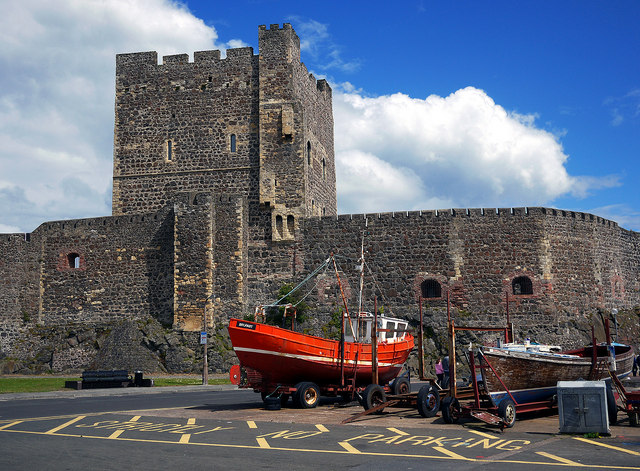 CARRICKFERGUS CASTLE in CarrickfergusCARRICKFERGUS CASTLE · 379 yd