What is recorded here
Enclosure in Turlough (carra By.) stands on a small hill overlooking the Castlebar River valley in County Mayo, Ireland. The 1838 OS 6-inch map shows a circular graveyard about sixty metres across, with a round tower and church crowning the summit. That clear boundary may have marked an early ecclesiastical enclosure, though no definitive trace remains visible at ground level.
On a small hill overlooking the valley of the Castlebar River. On the 1838 OS 6-inch map Turlough graveyard (MA070-144008-) is depicted as a circular area (diam. c. 60m) delimited by a dashed line: this encompassed the hill, with the dashed line coinciding with the lower contours, and the round tower (MA088-144002-) and church (MA088-144001-) crowning the summit. It is possible that this reflected the outline of an early ecclesiastical enclosure, but no definitive evidence of this can be seen at ground level.
Compiled by: Jane O'Shaughnessy
Date of upload: 15 December 2020
The monument record does not grant public access. Check the route and ask the landowner before entering private land.
- What survives
- Recorded monument
Places near here
 TowerRound tower · 9 yd
 Abbey in RuinsReligious house, unclassified · 22 yd
 Holy WellHoly well · 130 yd
 bridgebridge · 290 yd
 CastleCastle, unclassified · 417 yd
 National Museum of Ireland, Country LifeMuseum · 485 yd
 Sunken GardenWood · 655 yd
 Oak WoodWood · 913 yd
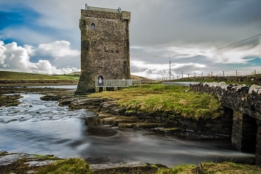 Moyhenna Castle in ruinsCastle, unclassified · 1.5 mi
 Michael DavittMemorial · 3.9 mi
 Battle of CastlebarMajor battlefield · 4.1 mi
 Saint John Baptist de La SalleMemorial · 4.3 mi