What is recorded here
In mature deciduous forestry on the steep and rocky SE slope of Knockadoon Peninsula. The site is located above and NW of the path connecting Black Castle (LI032-031----) with Bouchier's Castle (LI032-022034-). Archaeological excavations were conducted by Professor Seán P. Ó Ríordáin at Circle K (LI032-022028-) 410m to W; Circle J (LI032-022020-) 300m to WSW and at Site E (LI032-022032-) 70m to NE. Circle L (RMP No. ) is located 40m to NW.
The site is not depicted on the 1840 ed. OSi 6-inch or on the 1897 ed. 25-inch maps. It is depicted on the Cassini 6-inch OSi map as a curving arc of hachures defining an enclosure open to the SE (ext. diam. c. 25m). Grogan (1989, Vol. 2, 6) described the enclosure as Circle L from within Windle’s (1912) series. The two sites are separate monuments in distinct locations.
The site is visible as woodland on Google Earth orthoimage taken28/06/2018. Future fieldwork should seek to identify the site on the hillside within the woodland.
See attached Google Earth orthoimage
Compiled by: Edmond O’Donovan
Date of upload: 25 November 2020
The monument record does not grant public access. Check the route and ask the landowner before entering private land.
- What survives
- Recorded monument
Places near here
 Knockadoon Hill 446 ODCairn, ring-cairn · 178 yd
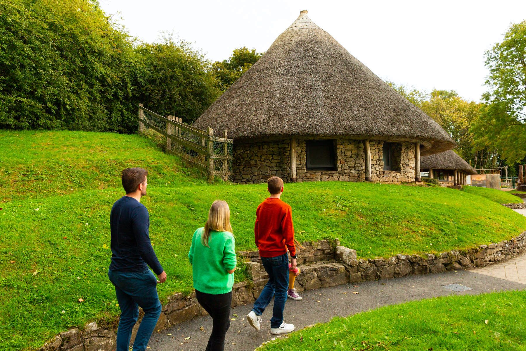 Hut site in LoughgurHut site · 230 yd
 Black Castle (in ruins)Castle, tower house · 245 yd
 Loughgur Farmhouse · 371 yd
 Pedunculate OakPedunculate Oak · 444 yd
 RoadRoad, road/trackway · 482 yd
 Lough Gur Heritage CentreVisitor information · 770 yd
 Garret IslandCastle, unclassified · 776 yd
 The SpectaclesVisitor information · 858 yd
 Grange Stone CircleArchaeological place · 1499 yd
 Lough GurVisitor information · 1562 yd
 Glen BogForest · 1.9 mi