
What is recorded here
Enclosure in Lisín An Óráin is a vanished fort on a SW-facing slope in County Galway, marked only as a hachured circle on old surveys. No wall, ditch or stone remains visible because the land has been recently forested. The enclosure may have stood as a small defended place where people watched the valley, kept fire light or marked a boundary. Now the trees hold what the survey once drew, and the fort lives more in imagination than in soil.
On SW-facing slope. Marked on OS Fair Plan as a hachured circle and labelled 'Fort' but not marked on OS 6-inch maps. No visible surface trace survives; the area has been recently forested.
The above description is derived from the published 'Archaeological Inventory of County Galway Vol. II - North Galway'. Compiled by Olive Alcock, Kathy de hÓra and Paul Gosling (Dublin: Stationery Office, 1999).
Date of upload: 05 August 2010
The monument record does not grant public access. Check the route and ask the landowner before entering private land.
- What survives
- Recorded monument
Places near here
 Cloonboo CastleCastle · 1.2 mi
 Enclosure in Cluain LeannáinEnclosure · 1.4 mi
 Enclosure in An MásEnclosure · 1.4 mi
 Séipéal Bhréanainn [Saint Brendan's Catholic Church]church/chapel · 1.4 mi
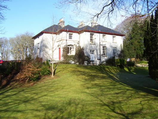 Annaghdown Househouse · 1.4 mi
 Bawn in Eanach DhúinBawn · 1.6 mi
 Cúil DiarmuidWood · 2.4 mi
 Oileán an BhreathnaighIslet · 2.4 mi
 IllaunnashinnaghIslet · 2.8 mi
 Ballinduff BayBay · 2.8 mi
 Cregg Castle DemesneForest · 3.0 mi
 Kilcoona Round TowerHeritage attraction · 4.9 mi
Other information
Photo: Credit not shown in the picture search · Rights wording not checked; contact us if this picture should be removed