What is recorded here
On a terrace below the hills and above the valley floor and lower slopes of the N side of the Dinin river valley. There are good views in all directions. Indicated on the 1st (1839) ed. OS 6-inch map as a D-shaped enclosure (dims. c. 38m NE-SW; L of straight side NW-SE c. 34m) with a large rectangular building (L c. 15m; Wth c. 7m) in the interior, orientated NW-SE. This enclosure and the building are not depicted on the subsequent 1899 revision OS 6-inch map. In its place there is an irregularly shaped area (dims. c. 57m NW-SE; c. 36m NE-SW) defined by a dashed line with trees drawn in the interior, suggesting it had become an unenclosed tree plantation. When visited in 1987 a dense and largely impenetrable tree plantation was in evidence, crossed by several deep drains. There are local fairy traditions associated with this monument.
Compiled by: Jean Farrelly
Date of upload: 30 January 2019
The monument record does not grant public access. Check the route and ask the landowner before entering private land.
- What survives
- Recorded monument
Places near here
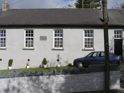 Smithstown National Schoolschool · 1311 yd
 church/chapelchurch/chapel · 1330 yd
 IndicatedEnclosure · 1687 yd
 Rockafoil WoodWood · 1754 yd
 Enclosure in KnockanaddogeEnclosure · 1.2 mi
 Sawney's WoodForest · 1.2 mi
 Clogharinka Castle (in ruins)Castle, unclassified · 1.5 mi
 The GarrisonCastle, motte · 1.8 mi
 1798Memorial · 1.9 mi
 Estate YardMemorial · 1.9 mi
 Footprints In CoalMuseum · 1.9 mi
 Castlecomer Discovery ParkHeritage attraction · 1.9 mi