What is recorded here
A polygonal enclosure (dims. c. 60m E-W widening to c. 70m towards the S; c. 65m NNW-SSE) indicated on the 1st (1839) ed. OS 6-inch map as having five unequal straight sides, with a small wooded square enclosure occupying much of the NW-W portion of the interior and a lime kiln on the edge of the monument at the SE angle. On the 1947 revision of the OS 6-inch map the enclosure is indicated as a roughly oval enclosure (dims. c. 56m N-S; c. 70m E-W) though the W-NW sector is not indicated and the monument is enclosed by field boundaries. Between 1947 and 2005 (Google Earth satellite imagery, 20 November 2005) the monument was levelled, as were the field boundaries to the S and W.
Compiled by: Jean Farrelly
Date of upload: 26 July 2021
The monument record does not grant public access. Check the route and ask the landowner before entering private land.
- What survives
- Recorded monument
Places near here
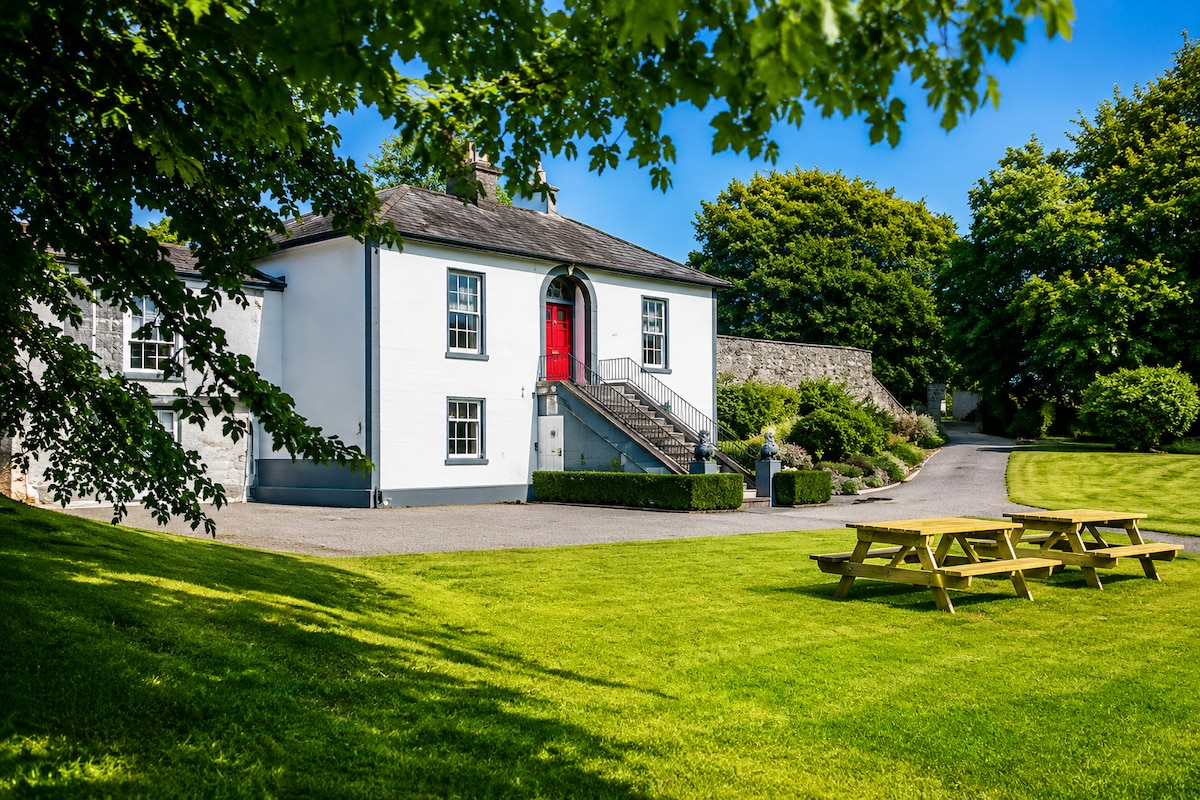 Enclosure in WallsloughEnclosure · 735 yd
 Church in Kilree (knocktopher By.)Church · 897 yd
 Castle (in ruins)Castle, unclassified · 904 yd
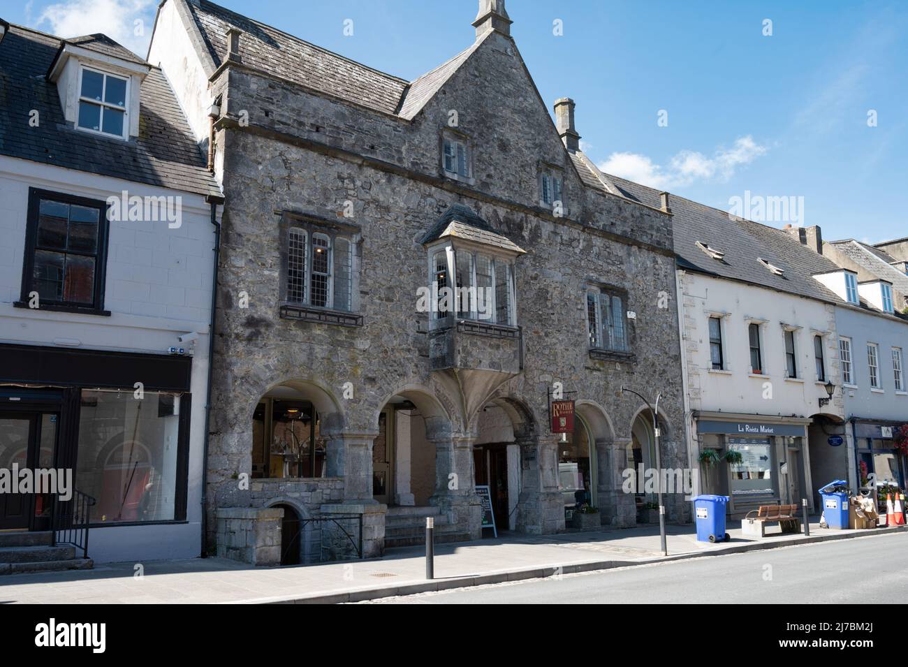 Enclosure in FurzehouseEnclosure · 1178 yd
 Kilkenny AirsoftHeritage attraction · 1296 yd
 Church in WallsloughChurch · 1399 yd
 CastleCastle, unclassified · 1.4 mi
 Danesfort CrossMemorial · 1.8 mi
 Black WalnutBlack Walnut · 1.8 mi
 Time CapsuleMemorial · 1.8 mi
 Dunbell Big RingfortWood · 1.8 mi
 O'Gorman's Lane LoopWalking route · 2.0 mi