
What is recorded here
Aerial photograph (GB91.EB.30) shows cropmark of a curvilinear enclosure defined by a fosse. The aerial photographs were taken on 15 July 1991. The plough-levelled monument is cut across by three modern field boundaries. A motte and bailey castle (LA026-006-) is located 390m to the NE.
The above report has been compiled by Dr. G. F. Barrett and supplied to the Archaeological Survey of Ireland.
Compiled by Caimin O'Brien
Date of upload/revision: 13 December 2010
The monument record does not grant public access. Check the route and ask the landowner before entering private land.
- What survives
- Recorded monument
Places near here
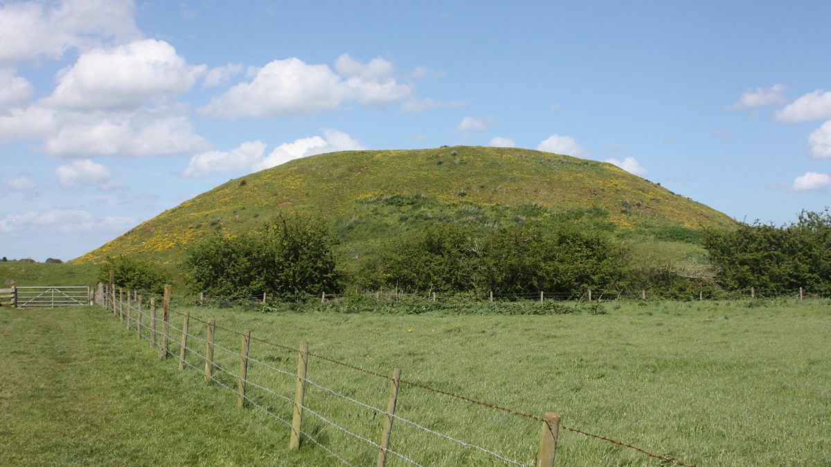 The MoundCastle, motte and bailey · 434 yd
 Kilmorony House (ruins)Ruins · 521 yd
 Kilmorony Househouse · 521 yd
 .Site of St. Legers CastleCastle, unclassified · 805 yd
 Enclosure in TankardstownEnclosure · 1027 yd
 Enclosure in BarrowhouseEnclosure · 1486 yd
 Dollardstown WoodForest · 1.9 mi
 Town HallMuseum · 3.2 mi
 1798 memorialMemorial · 3.2 mi
 Lorcán Ó TuathailMemorial · 3.7 mi
 Mullaghreelan WoodForest · 3.8 mi
 Killeshin ChurchVisitor information · 7.0 mi
Other information
Photo: Credit not shown in the picture search · Rights wording not checked; contact us if this picture should be removed