What is recorded here
On the flat summit of a hill in rolling terrain, under pasture. The levelled enclosure (TS081-018----) was formerly visible on the opposing ridge to the NW. Monument depicted as a roughly circular enclosure on the 1st (1840) and 2nd (1906) ed. OS 6-inch map (diam. c. 33m N-S; c. 38m E-W). Monument levelled though a slight trace of a curving bank in the W quadrant may be a remnant of the enclosure.
Compiled by: Jean Farrelly
Date of upload: 07 January 2014
The monument record does not grant public access. Check the route and ask the landowner before entering private land.
- What survives
- Recorded monument
Places near here
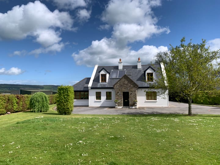 LissawanFairy fort / earthen ringfort · 711 yd
 Enclosure in LissakyleEnclosure · 857 yd
 Pedunculate OakPedunculate Oak · 1030 yd
 Cottagehill WoodForest · 1346 yd
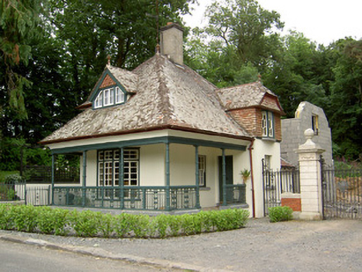 Ballybrada Housegate lodge · 1380 yd
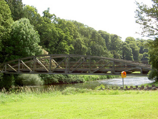 bridgebridge · 1533 yd
 Castle (in ruins)Castle, unclassified · 1.1 mi
 Bawn in RochestownBawn · 1.5 mi
 Woodcock HillMountain / peak · 1.7 mi
 Cahir CastleHeritage attraction · 1.8 miSiege of Cahir Castlesiege · 2.0 mi
 Caher AbbeyHeritage attraction · 2.2 mi