What is recorded here
The following description is derived from the published 'Archaeological Inventory of County Carlow' (Dublin: Stationery Office, 1993). In certain instances the entries have been revised and updated in the light of recent research.
Date of upload/revision: 17 July 2007
Cropmarks of three small circular enclosures defined by cropmarks of narrow fosses visible on aerial photographs (CUCAP BGH 20-2) (est max. diam. of largest c. 15m, others less than 10m diam.). Possibly ring-barrows or ring-ditches. No visible traces. (CW019-021----).
This remains an important historical record, but the official description says the monument is no longer visible or has been destroyed. The monument record does not grant public access. Check the route and ask the landowner before entering private land.
- What survives
- No visible remains or recorded as destroyed
Places near here
 Enclosure in Kilgraney (idrone East By.)Enclosure · 441 yd
 Enclosure in SliguffEnclosure · 799 yd
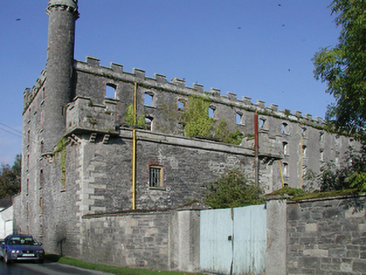 mill (water)mill (water) · 867 yd
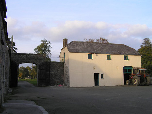 Barraghcore Housefarmyard complex · 1054 yd
 Site of CastleCastle, unclassified · 1.7 mi
 Lord Galmoys Catle (in ruins)Castle, unclassified · 2.2 mi
 The Green GardenWood · 2.9 mi
 Church (in ruins), GraveyardChurch · 2.9 mi
 Wych ElmWych Elm · 3.4 mi
 Lock Keeper's House and Lodge MillsVisitor information · 3.5 mi
 The Columban WayVisitor information · 3.6 mi
 St. Mogarra’s WellSpring · 7.2 mi