What is recorded here
In pasture, on a NW-facing slope. No visible surface trace. Depicted as a roughly circular enclosure (diam c. 38m) on 1840 edition OS 6-inch map. Not remembered locally as an enclosure. According to local information, the rectangular foundations of a building to NE of the enclosure are sometimes evident in dry weather. This building is believed locally to be an old court called the 'Shan Court'. Not depicted or named on 1840 edition OS 6-inch map. According to local information, the NMI came and took the old slates or flag type stones decades ago, probably sometime after the building had fallen or been dismantled. The slates/flags were very thick and of obvious interest to the NMI due to their potential medieval age.
Compiled by: Jean Farrelly
Date of upload: 26 August 2011
The monument record does not grant public access. Check the route and ask the landowner before entering private land.
- What survives
- Recorded monument
Places near here
 Burnt spread in GortmakellisBurnt spread · 306 yd
 Gortmakellis CastleCastle · 545 yd
 Enclosure in BallyknockEnclosure · 943 yd
 Ballyknock HillMountain / peak · 1062 yd
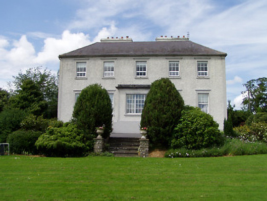 Dually Househouse · 1.3 mi
 Castle in RuinsHouse, fortified house · 1.4 mi
 Ballykelly Church (in Ruins)Church · 1.4 mi
 Cormac's ChapelHeritage attraction · 1.9 mi
 Rock of CashelHeritage attraction · 1.9 mi
 The Rock Of CashelVisitor information · 1.9 mi
 Black mulberryBlack mulberry · 2.0 mi
 Clonoulty HillMountain / peak · 6.5 mi