
What is recorded here
An invisible ring of earth once stood eighty-five metres southeast of the standing stone, wide enough for a person to walk inside but narrow enough to feel the pressure of its walls. The 1842 survey captured that circular shape before ploughs and boots erased it, preserving a boundary that no longer touches the skin. It may have marked a shrine, a garden or a childhood game, yet the disappearance does not diminish the enclosure because memory can still occupy the lost space.
In pasture, c. 85m SE of standing stone (9903). Depicted on 1842 OS 6-inch map as hachured circular enclosure (diam. c. 10m). Levelled; no visible surface trace.
The above description is derived from the published 'Archaeological Inventory of County Cork. Volume 4: North Cork' (Dublin: Stationery Office, 2000). In certain instances the entries have been revised and updated in the light of recent research.
Date of upload/revision: 14 January 2009
The monument record does not grant public access. Check the route and ask the landowner before entering private land.
- What survives
- Recorded monument
Places near here
 Enclosure in Ballynamona (fermoy By., Glanworth Par.)Enclosure · 763 yd
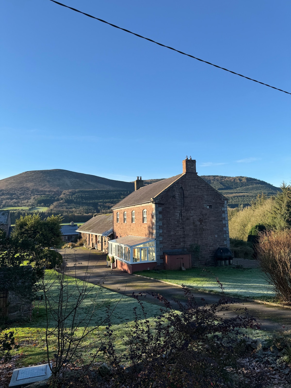 IndicatedFairy fort / earthen ringfort · 849 yd
 Saint Patrick's National Schoolschool · 1474 yd
 Air HillCountry house · 1539 yd
 Graveyard in BoherashGraveyard · 1.0 mi
 St Dominick's WellSpring · 1.1 mi
 Castle (in Ruins)Castle, tower house · 1.1 mi
 Glanworth Castle (in Ruins)Castle, Anglo-Norman masonry castle · 1.2 mi
 Flat cemetery in Ballyenahan NorthFlat cemetery · 2.9 mi
 Anne's Grove GardensHeritage attraction · 3.9 mi
 Blackwater (Avondhu) WayWalking route · 4.2 mi
 Johnson's WoodForest · 4.7 mi
Other information
Photo: Credit not shown in the picture search · Rights wording not checked; contact us if this picture should be removed