What is recorded here
During Phase 4 the rath became absorbed with the E and W annexes into a large subrectangular enclosure (int. dims c. 70m plus E-W; c. 40m N-S) where the principal activity might be represented by many of the eleven cereal-drying kilns (ME025-096007-) throughout the excavated area. The line of the fosse, although re-cut, remained the same at as that of the annexes at N and W but at S a new line parallel with the S side of the annexes but 5m outside it was cut. It was U-shaped and flat-bottomed but a return at E was not found as the ditch shallowed out on the slight rise to the E and it may have been connected with a wider field system. Towards the W end the new ditch truncated two kilns and the E ditch of the earlier phase of the smaller outer W annexe (ME025-096004-), although a ditch defining the E edge of the later W annexe debouches into it. (McGlade 2017, vol. 1, 28-30; 83-5)
See the attached plans from McGalde 2017 (vol. 1, P 22, 29) _01 location; _02 enclosure;
Compiled by: Michael Moore
Date of upload: 19 April, 2023
McGlade, S. 2017 Preliminary Excavation Report, Site D, Alexander Reid, Navan. Licence: 16E0449. Unpublished report, 2 vols Archaeology Plan
The monument record does not grant public access. Check the route and ask the landowner before entering private land.
- What survives
- Recorded monument
Places near here
 Enclosure in Alexander ReidEnclosure · 29 yd
 Font (present location) in Johnstown (skreen By.)Font (present location) · 1073 yd
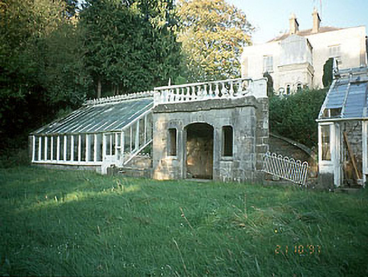 Boyne View Housesummerhouse · 1444 yd
 worker's houseworker's house · 1463 yd
 CastleCastle, motte · 1.1 mi
 Carn HillMountain / peak · 1.2 mi
 The RampartWood · 1.3 mi
 Rowley's WoodWood · 1.6 mi
 Donaghmore Round TowerHeritage attraction · 1.8 mi
 Nangle CourtMemorial · 2.3 mi
 Site of Old CastleCastle, unclassified · 3.3 mi
 Hill of TaraVisitor information · 4.7 mi