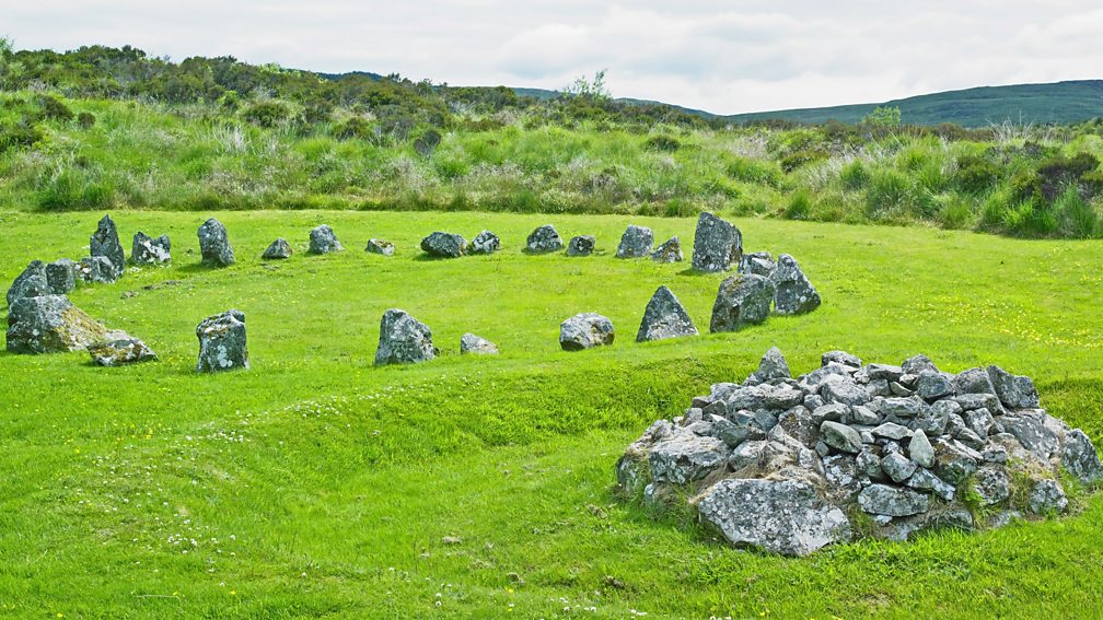
What is recorded here
On a slight rise at the W end of a low E-W ridge. Circular grass-covered area (diam. 33.2m NNE-SSW; 31.8m WNW-ESE) defined by an earthen bank (Wth 2.3-3.4m; int. H 0.3-0.8m; ext. H 0.8-1.3m) which is incorporated into a defunct field bank (Wth 3.8m; int. H 0.9m; ext. H 1.5m) SE-WSW, and a fosse (Wth of base 2-3m; D 0.3m) WSW-NNW. There is no identifiable original entrance, and a NNE-SSW field bank and drain cut the monument towards the perimeter at W.
Compiled by: Michael Moore
Date of upload: 24 August 2010
The monument record does not grant public access. Check the route and ask the landowner before entering private land.
- What survives
- Recorded monument
Places near here
 Enclosure in Ballyglass (castlereagh By.)Enclosure · 791 yd
 Field system in Ballyglass (castlereagh By.)Field system · 814 yd
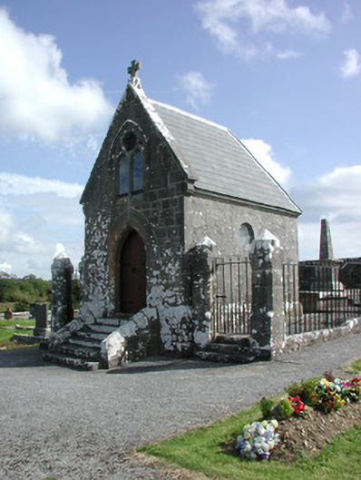 Irwin Mortuary ChapelOfficially recorded historic building · 1.4 mi
 Church in GlenvelaChurch · 1.4 mi
 CastlerubyCastle, unclassified · 2.5 mi
 GortnacushlaunCastle, unclassified · 2.7 mi
 European ashEuropean ash · 3.8 mi
 ToberagullaSpring · 3.8 mi
 Cruachan Aí Heritage CentreMuseum · 4.6 mi
 Silver IslandIslet · 4.8 mi
 Workhouse MemorialMemorial · 5.4 mi
 Gray's WoodForest · 6.3 mi
Other information
Photo: Credit not shown in the picture search · Rights wording not checked; contact us if this picture should be removed