What is recorded here
Situated on a level landscape with a small NNE-SSW section of a canalised stream c. 40m to the SE. It was first identified by G. F. Mitchell (O’Kelly 1954, 152). An area of broken and burnt stone (dims 12m NE-SW; 7m NW-SE) was visible in a ploughed field in 1970 (SMR file). Archaeological testing (17E0658) by J. Whittaker c. 90m to the NW at the closest point produced no related material (excavations.ie 2018:208).
The above description is derived from the published 'Archaeological Inventory of County Meath' (Dublin: Stationery Office, 1987). In certain instances the entries have been revised and updated in the light of recent research.
Compiled by: Michael Moore
Date of upload: 10 July 2007
Amended: 22 November 2021
Burnt mound in Dunshaughlin is a Neolithic ritual or industrial site, dating to the early to middle third millennium BCE. Its significance lies in providing evidence of heat-related activities, possibly for cooking, water heating, or ceremonial purposes, typical of Neolithic settlement practices in Ireland.
The monument record does not grant public access. Check the route and ask the landowner before entering private land.
- What survives
- Recorded monument
Places near here
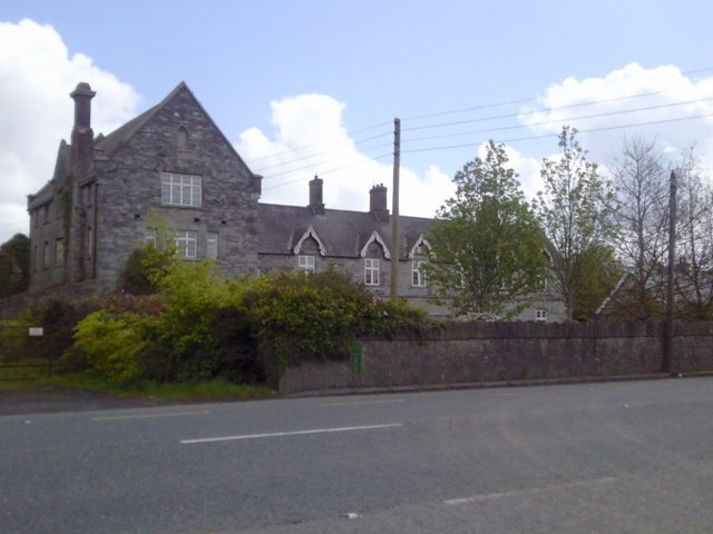 Dunshaughlin Union Workhouseworkhouse administration block · 711 yd
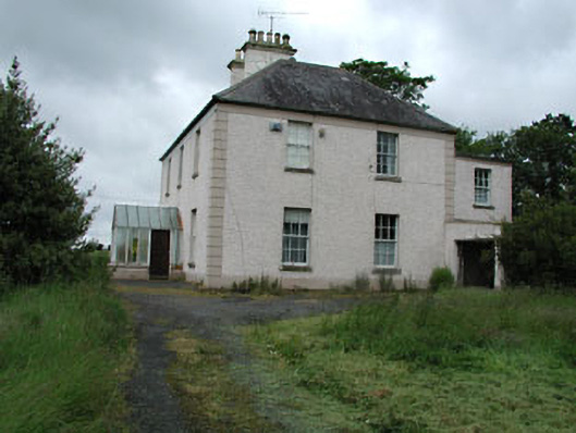 Seachnall Housefarm house · 989 yd
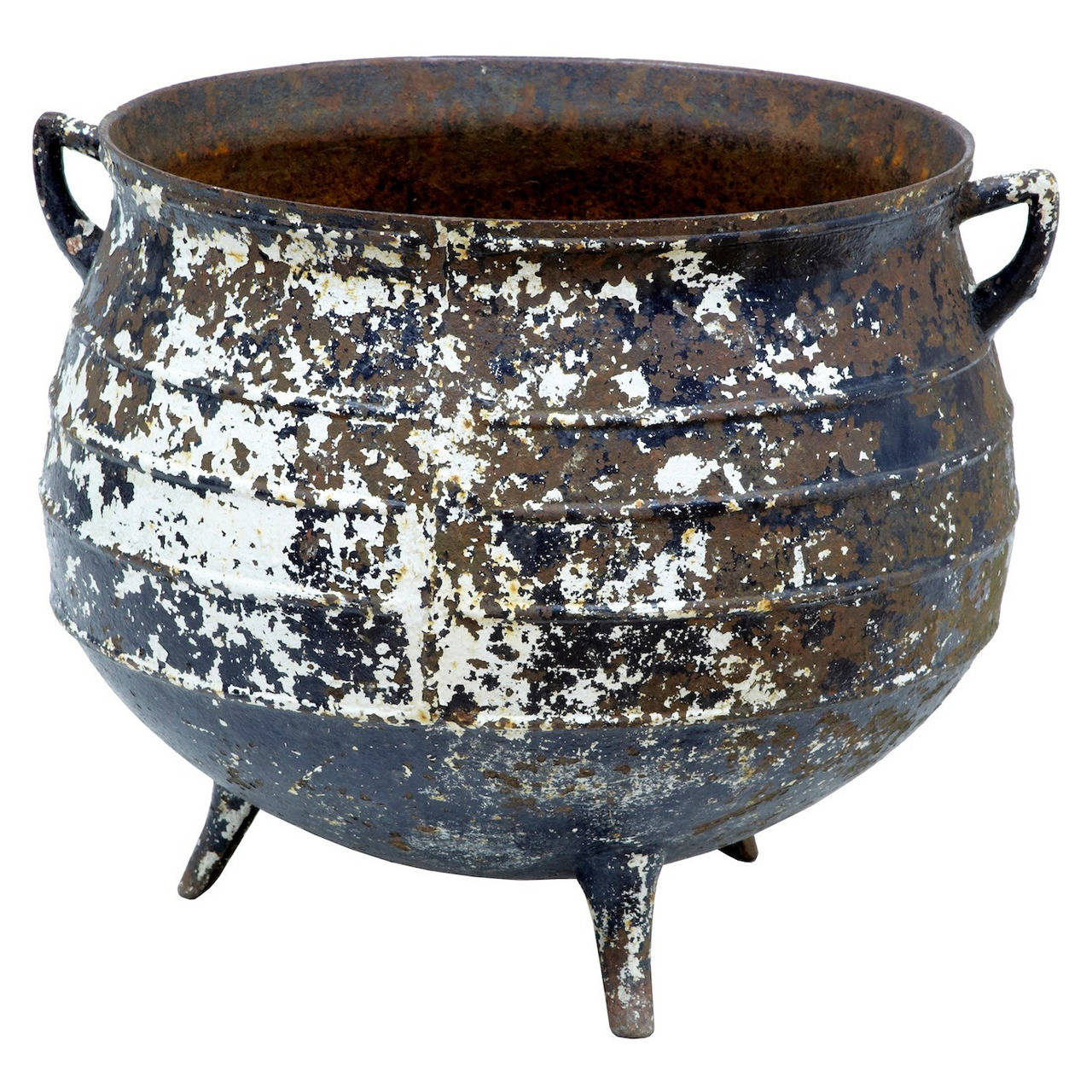 Famine PotMonument · 1254 yd
 Church (Site of)Church · 1.0 mi
 Lismahon 1798 MemorialMonument · 2.7 mi
 Killeen CastleCastle, tower house · 3.6 mi
 Site of Old CastleCastle, unclassified · 3.6 mi
 Lemur WoodWood · 4.1 mi
 Emerald ParkHeritage attraction · 4.2 mi
 Laurel WoodsWood · 4.4 mi
 1798 MemorialMemorial · 5.1 mi
 MullaghMountain / peak · 5.3 mi