What is recorded here
Toberacreen is a missing well in a Kerry garden, erased from sight but preserved in name beside a cliff-edge fort. The fort still stands twenty metres away, watching the road where water once rose for people whose names never survived. What disappeared is not the stone or the soil, but the chance to see the well doing its work.
In the garden of a dwelling house, to the N of the Killarney-Killorglin road (N72). The well, which is named 'Toberacreen' on the OS 6-inch map, is not visible at ground level. According to local information, it has been gone for many years. A cliff-edge fort (KE057-060001-) is c. 25m to the SW, on the opposite side of the road.
Compiled by: Elizabeth Byrne, Ursula Egan and Sheila Ronan, Archaeological Survey Unit, University College, Cork.
Date of upload: 31 January 2011
The monument record does not grant public access. Check the route and ask the landowner before entering private land.
- What survives
- Recorded monument
Places near here
 CaveMan-made underground passage · 1339 yd
 Church in Dromavally (trughanacmy By., Killorglin Ed)Church · 1574 yd
 King Puck statueMemorial · 1745 yd
 bridgebridge · 1.0 mi
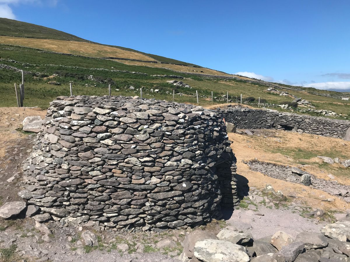 Enclosure in BanshaghEnclosure · 1.1 mi
 CastleCastle, tower house · 1.1 mi
 Cloon IslandIsland · 1.2 mi
 Clash IslandIslet · 1.5 mi
 Ballymalis Castle (in ruins)Castle, tower house · 3.1 mi
 The Kerry Creamery ExperienceHeritage attraction · 4.0 mi
 KnockbrackMountain / peak · 4.8 mi
 KnockroeMountain / peak · 5.4 mi