What is recorded here
Dundrum’s raised graveyard sits south of the present church, dropping three metres inside its own boundary before falling another five into the surrounding land. The ground tilts steeply northwest and southwest, forcing every visitor to meet the dead on uneven terms. That much is known; the rest belongs to imagination. Perhaps people buried there because the height made prayer easier, or because the cliff edge suited a town that liked to look down. Either way, the graves remain elevated while the living world falls away beneath them.
A raised graveyard lies S of the present church (DU022-016002-). The ground falls away steeply to the NW and SW. Within the interior of the gravyard there is a distinct fall (D 3m), a berm with a further fall (5m) to the surounding ground level.
Compiled by Geraldine Stout
Date of upload: 25th April 2012
A medieval graveyard; significance relates to its possible ecclesiastical connections and topographical features suggesting long-term use.
The monument record does not grant public access. Check the route and ask the landowner before entering private land.
- What survives
- Recorded monument
Places near here
 Ecclesiastical enclosure in DundrumEcclesiastical enclosure · 11 yd
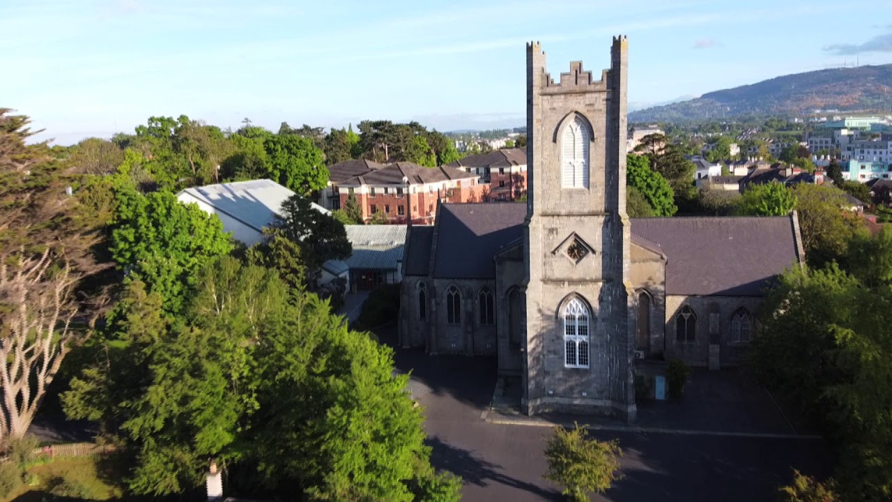 Church, Grave ydChurch · 31 yd
 CastleCastle, Anglo-Norman masonry castle · 663 yd
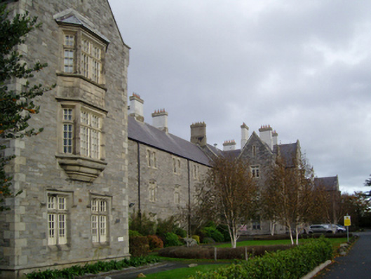 Central Mental Hospitalhospital/infirmary · 951 yd
 Airfield FarmHeritage attraction · 1298 yd
 European long distance path E8 - part IrelandWalking route · 1.1 mi
 Nature Trail 1400 OrchardVisitor information · 1.1 mi
 Nature Trail 1600 Holm oakVisitor information · 1.2 mi
 Roebuck CastleCastle, unclassified · 1.2 mi
 European YewEuropean Yew · 1.3 mi
 Beech Hill Office CampusMemorial · 1.5 mi
 Church (site of)Church · 1.6 mi