What is recorded here
Counterscarph Rath stands in Dunbeg Upper, County Down, a scheduled archaeological site where ancient hands shaped the earth long before modern borders drew their lines. The ground itself remembers the weight of bodies that walked it, the breath of children who played in its shadows, the quiet persistence of life that turned soil into story. What remains is not ruin but invitation: a place where the past still speaks through shape, silence, and the patience of stone.
The official Northern Ireland record identifies this as COUNTERSCARP RATH. Recorded period: E.CHRIST.. Recorded protection: Scheduled. The official map point was placed at the centre of the recorded archaeological site from the source map reference.
The monument record does not grant public access. Check the route and ask the landowner before entering private land.
- What survives
- Recorded monument
Places near here
 ENCLOSURE in Ballymacarn SouthENCLOSURE · 1.2 mi
 Glen LoaninWalking route · 1.3 mi
 Assembly RoomsAssembly Room · 1.3 mi
 Spa Presbyterian ChurchChurch · 1.4 mi
 FORTIFICATION: McCARTAN'S CASTLE (unlocated) in MagheratimpanyFORTIFICATION: McCARTAN'S CASTLE (unlocated) · 1.5 mi
 ENCLOSURE in Ballymaglave SouthENCLOSURE · 1.6 mi
 Dunmore MountainMountain / peak · 2.0 mi
 Darby's LoaninWalking route · 2.2 mi
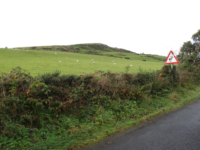 Dunturk MountainMountain / peak · 2.2 mi
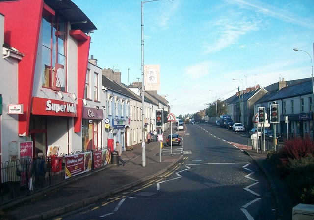 Lisburn Street South Car ParkVisitor information · 2.7 mi
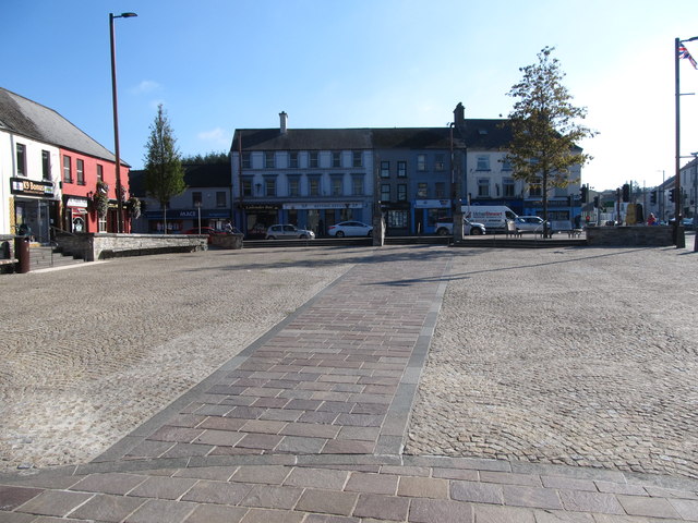 Market DayVisitor information · 2.7 mi
 Windmill Hill WoodWood · 2.9 mi