What is recorded here
Scotland's National Record of the Historic Environment records Obstruction as Obstruction (period Unassigned). The official map says its point is accurate as follows: NGR given to the nearest 1m. The record does not by itself mean that the public may enter the place.
The historic-place record does not grant public access. Check current conditions and ownership before entering land or a building.
Places near here
 Groomsport Parish ChurchChurch · 1.0 mi
 Cockle RowGallery/ Museum · 1.1 mi
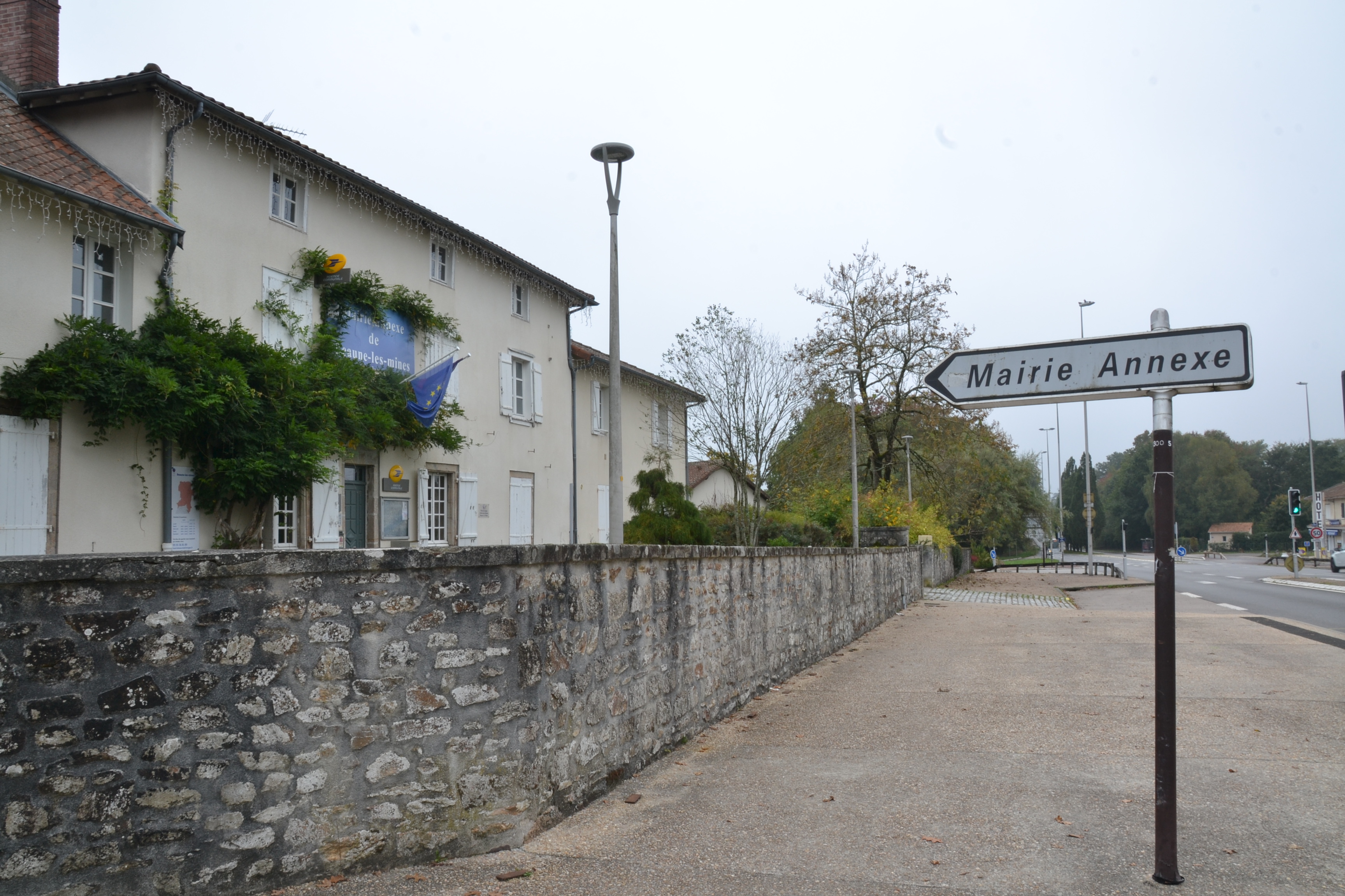 RATH & ENCLOSURE (annexe?) in BallyminetraghRATH & ENCLOSURE (annexe?) · 1.5 mi
 ENCLOSURE in BallymacormickENCLOSURE · 1.6 mi
 Lighthouse IslandIsland · 2.9 mi
 Mew IslandIsland · 3.3 mi
 Skippingstone BeachBeach / strand · 3.5 mi
 North Down MuseumMuseum · 3.5 mi
 Bangor CastleCastle · 3.5 mi
 Brompton BayBeach / strand · 3.8 mi
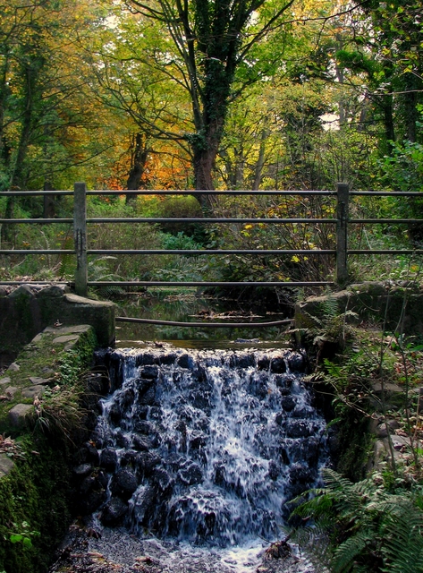 Stricklands GlenWood · 4.2 mi
 North Down Coastal PathWalking route · 4.7 mi