What is recorded here
Scotland's National Record of the Historic Environment records Foul as Anchor (period Unassigned)-(1997), Obstruction (period Unassigned)-(1997). The official map says its point is accurate as follows: NGR given to the nearest 1m. The record does not by itself mean that the public may enter the place.
The historic-place record does not grant public access. Check current conditions and ownership before entering land or a building.
Places near here
 Ballyquintin Point Nature ReserveNature reserve · 18 mi
 Kearney Coastal Walk, KearneyWalking route · 18 mi
 Millin Bay CairnArchaeological place · 18 mi
 Quintin CastleCountry House · 18 mi
 AP Cropmark- Pennanular enclosure in BallymarterAP Cropmark- Pennanular enclosure · 18 mi
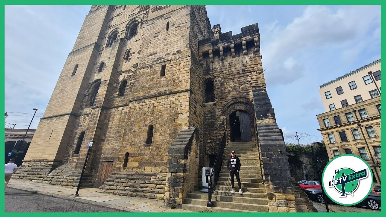 CASTLE in NewcastleCASTLE · 19 mi
 Guns IslandIslet · 19 mi
 Mullog PointHeadland · 19 mi
 Ballyhornan Picnic SitePicnic place · 19 mi
 FORTIFIED HOUSE & BAWN: THE WHITE HOUSE in BallyspurgeFORTIFIED HOUSE & BAWN: THE WHITE HOUSE · 19 mi
 MEDIEVAL CHURCH RENLES in Killard UpperMEDIEVAL CHURCH RENLES · 19 mi
 Kilclief BeachBeach / strand · 19 mi