What is recorded here
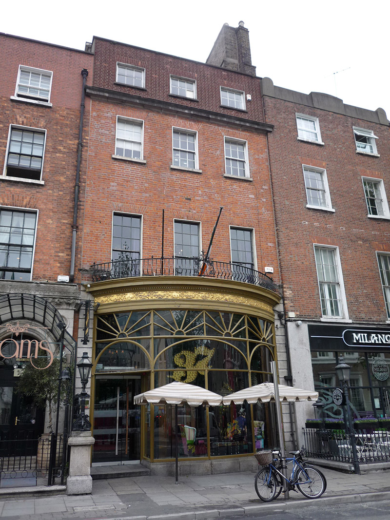
Attached three-bay four-storey former house, built c. 1790, over concealed basement, with full-height rear return. Now in retail use, with full-width ornate bowed timber shopfront to ground floor. Bowed timber shopfront added c. 1900. Fully abutted to rear. Hipped slate roof running perpendicular to street, having further higher flat roof addition to southeast quadrant, skylights; large shared brown brick chimneystack to north party wall with clay pots; rebuilt red brick parapet with concealed rainwater goods, having replacement uPVC hopper and downpipe at ground floor. Flemish bond red brick walling, top floor rebuilt, rusticated granite at ground floor, with carved limestone cornice to second floor. Square-headed window openings, diminishing in height to upper floors, with painted rendered reveals and painted masonry sills. Timber sliding sash windows with simple horns, nine-over-nine pane to first floor, six-over-six pane to second floor and three-over-three pane timber casements to top floor; rear has three-over-three pane to top floor and six-over-six pane to second floor of northern bays and French doors to south bay. Shopfront has granite plinth, decorative Lincrusta frieze with dentillated cornice and iron balconette lining perimeter, display window with four bowed panels, each having two-stage transom lights with arches to lower sections and radial detailing to upper. Integrated recessed entrance door at south end with recent glazed door, accessed by single granite step from street.
This typical late eighteenth century Georgian house is dominated by an ornate bowed shopfront that contributes strong artistic and visual interest to the streetscape. The carved limestone cornice above the second floor is a rare feature in a domestic Dublin terrace. A house on the site was the home of the Surveyor General, Thomas Burgh (1670-1730), but this building appears to be a later, albeit Georgian, rebuild. It was successively altered in the early nineteenth century and again in 1946. It was in commercial use since at least 1850 when it was in use as a wine merchant's. Dawson Street was the principal thoroughfare of a new suburb laid out by Joshua Dawson in the first decade of the eighteenth century. No. 37 forms part of an enclave of buildings of considerable architectural interest spanning three centuries of change.
This does not grant access. Most recorded buildings are privately owned; view them only from public ground unless the owner allows entry.
Places near here
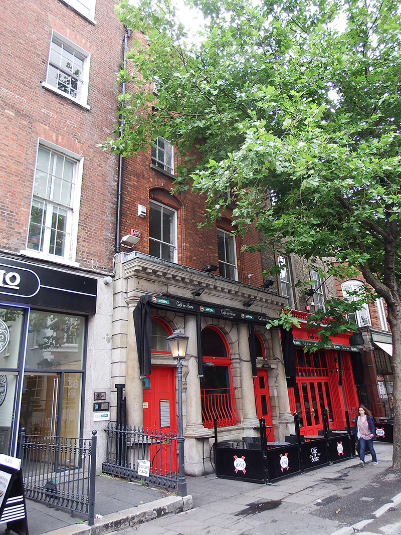 Café en Seineshop/retail outlet · 16 yd
 Royal Irish Automobile Clubcar park · 43 yd
 The Soup BowlMemorial · 108 yd
 The Little Museum of DublinMuseum · 120 yd
 O'Donovan RossaMonument · 167 yd
 Fusiliers' ArchMonument · 170 yd
 Comhlucht na hÉireann um Árachas cptMemorial · 177 yd
 Weeping willowWeeping willow · 236 yd
 National Museum of Ireland, Kildare StreetMuseum · 269 yd
 Bigleaf MapleBigleaf Maple · 467 yd
 Battle of DublinMajor battlefield · 607 yd
 Tourist Information CentreVisitor information · 705 yd
Other information
Photo: National Inventory of Architectural Heritage · Website use allowed for educational or private purposes with source credit