What is recorded here
Indicated is an overgrown circular cairn sitting at the edge of a shelf beside the deep water of Drumreaske Lough in County Monaghan. It appears as a rectangular island only on the 1908 OS map, suggesting the lake may have stood higher when people first shaped or used the place. Now inaccessible and hidden beneath vegetation, it preserves the quiet possibility that a small community once lived beside water that has since retreated.
Located c. 20m from the E shore of the subrectangular Drumreaske Lough (dims c. 200-230m N-S; c. 100m E-W at N to c. 220m E-W at S). It is depicted a rectangular island (dims c. 15m x c. 10m) only on the 1908 edition of the OS 6-inch map. This is a circular overgrown cairn (diam. c. 15m) that is at the edge of a shelf bordering the deep water of the lake. It is inaccessible.
The above description is derived from the published 'Archaeological Inventory of County Monaghan' (Dublin: Stationery Office, 1986). In certain instances the entries have been revised and updated in the light of recent research.
Date of revision: 13 December 2017
The monument record does not grant public access. Check the route and ask the landowner before entering private land.
- What survives
- Recorded monument
Places near here
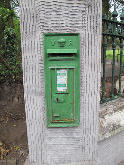 post boxpost box · 162 yd
 IndicatedCrannog · 163 yd
 Crannog in DrumreaskCrannog · 173 yd
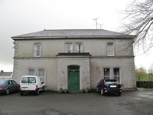 Lisdoogan Househouse · 444 yd
 Churchland WoodWood · 1324 yd
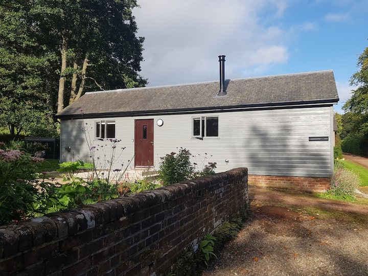 Gamekeeper's WoodForest · 1435 yd
 Banba GiantHeritage attraction · 2.0 mi
 Monaghan County MuseumMuseum · 2.0 mi
 Rossmore MonumentMemorial · 2.0 mi
 Bawn in Roosky (monaghan By., Monaghan Par.)Bawn · 2.0 mi
 Rough HillMountain / peak · 2.3 mi
 Sliabh Beagh Hotel and Tourism CentreVisitor information · 5.7 mi