What is recorded here
Drumlee holds a rath, an ancient earthwork whose boundary still marks the landscape in County Down. Whether it served as a fortress, a boundary marker, or a seasonal home, its shape suggests people valued the position enough to build there. The soil may have swallowed chambers, doors, and fires, yet the ridge remains visible when walked.
The official Northern Ireland record identifies this as RATH. Recorded period: E.CHRIST.. The official map point was placed at the centre of the recorded archaeological site from the source map reference.
The monument record does not grant public access. Check the route and ask the landowner before entering private land.
- What survives
- Recorded monument
Places near here
 ENCLOSURE in BallywardENCLOSURE · 1265 yd
,_Ballyward_-_geograph.org.uk_-_2567804.jpg?width=1280) Drumgooland Parish ChurchChurch · 1.3 mi
Drumgooland Parish ChurchChurch · 1.3 mi Ballyward HouseHouse · 1.3 mi
 ENCLOSURE in BallydrummanENCLOSURE · 1.9 mi
 Kilcoo GraveyardWalking route · 2.1 mi
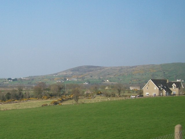 Tullynasoo MountainMountain / peak · 2.2 mi
 CHURCH & GRAVEYARD: DRUMGOOLAND in DeehommedCHURCH & GRAVEYARD: DRUMGOOLAND · 2.6 mi
 The Moat PadWalking route · 2.9 mi
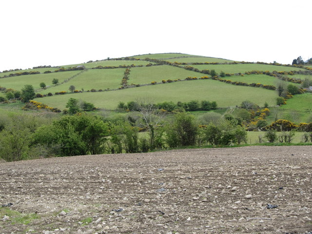 Carn HillMountain / peak · 3.0 mi
 CASTLE & RATH reused as BAILEY: SEAFIN CASTLE; Magh Cobha; Moycove in SeafinCASTLE & RATH reused as BAILEY: SEAFIN CASTLE; Magh Cobha; Moycove · 3.0 mi
 Moorish TowerCastle · 3.3 mi
 The Brontë CentreVisitor information · 3.4 mi