What is recorded here
The question mark in the official name is a trap. It invites invention, but invention is not the request. The answer should use the facts already given and leave the unknown part visible. That is why the previous attempt failed. I should have written for the person asking about the place, not explained my own doubt.
The official Northern Ireland record identifies this as GRAVEYARD (rath?). Recorded period: UNCERTAIN. The official map point was placed at the centre of the recorded archaeological site from the source map reference.
The monument record does not grant public access. Check the route and ask the landowner before entering private land.
- What survives
- Recorded monument
Places near here
 ENCLOSURE in BallywardENCLOSURE · 1.2 mi
,_Ballyward_-_geograph.org.uk_-_2567804.jpg?width=1280) Drumgooland Parish ChurchChurch · 1.5 mi
Drumgooland Parish ChurchChurch · 1.5 mi Ballyward HouseHouse · 1.5 mi
 Kilcoo GraveyardWalking route · 1.6 mi
 EARTHWORKS with STONE ENCLOSURES & HOUSE FOUNDATION in BallymoneyEARTHWORKS with STONE ENCLOSURES & HOUSE FOUNDATION · 1.6 mi
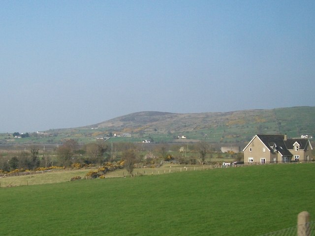 Tullynasoo MountainMountain / peak · 1.8 mi
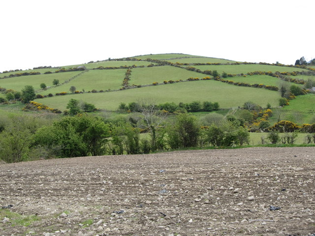 Carn HillMountain / peak · 2.5 mi
 Moorish TowerCastle · 3.0 mi
 CHURCH & GRAVEYARD: DRUMGOOLAND in DeehommedCHURCH & GRAVEYARD: DRUMGOOLAND · 3.1 mi
 The Moat PadWalking route · 3.4 mi
 CASTLE & RATH reused as BAILEY: SEAFIN CASTLE; Magh Cobha; Moycove in SeafinCASTLE & RATH reused as BAILEY: SEAFIN CASTLE; Magh Cobha; Moycove · 3.5 mi
 Cypress Pond CollectionWood · 3.5 mi