What is recorded here
Drumiller still holds a standing stone from the prehistoric dark. No human hand shaped it for ceremony or boundary, yet it has watched the land change for longer than memory can reach. Its uncertainty is not a flaw; it is a reminder that some places existed before people learned to name them.
The official Northern Ireland record identifies this as STANDING STONE. Recorded period: PREHISTORIC; UNCERTAIN. The official map point was placed at the centre of the recorded archaeological site from the source map reference.
The monument record does not grant public access. Check the route and ask the landowner before entering private land.
- What survives
- Recorded monument
Places near here
_-_geograph.org.uk_-_1421059.jpg?width=1280) Steenson's BridgeBridge · 1396 yd
Steenson's BridgeBridge · 1396 yd Canal BridgeBridge · 1.7 mi
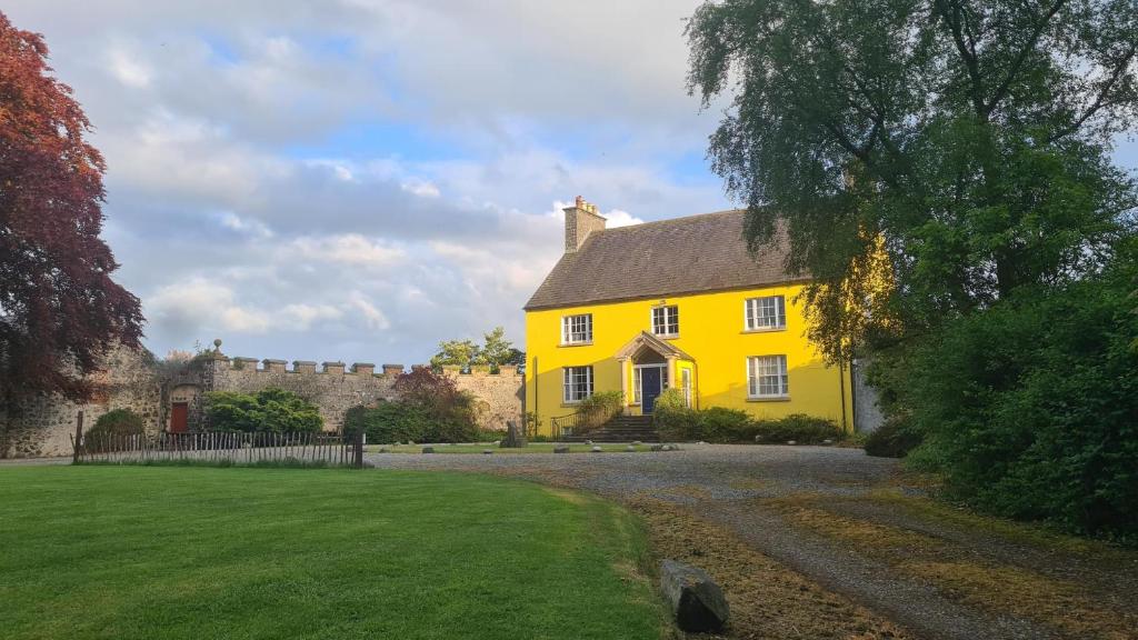 ENCLOSURE in BallyloughENCLOSURE · 1.8 mi
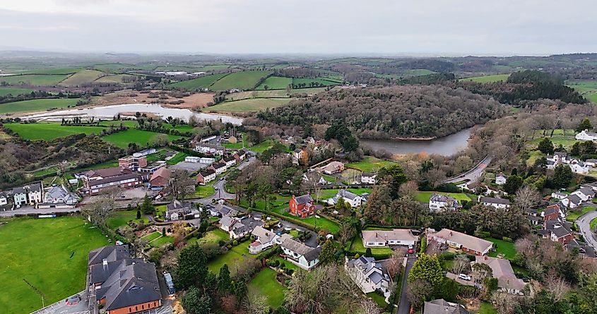 ENCLOSURE? in CarnacallyENCLOSURE? · 1.9 mi
 Canal WoodWood · 2.5 mi
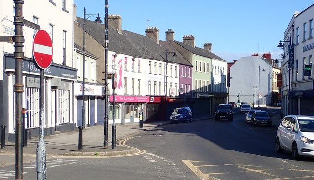 New Street Car ParkVisitor information · 2.9 mi
 Basin Walk Car ParkVisitor information · 3.0 mi
 War MemorialMonument · 3.0 mi
 Newry CenotaphMemorial · 3.0 mi
 1971 Newry killingsmassacre · 3.1 mi
 Newry and Mourne MuseumMuseum · 3.3 mi
 Bagenal's CastleCastle · 3.3 mi