What is recorded here
Drumcrin holds a rath, an ancient earthwork that marked power long before modern borders drew their straight lines. The chambered tomb nearby and the rath itself suggest a place where people repeated gestures of memory, perhaps burying the dead or gathering under open sky. Such sites rarely serve one purpose; they accumulate meaning across generations. The land remembers through shape rather than writing, and the circle of soil remains a clue to lost human certainty.
The official Northern Ireland record identifies this as RATH. Recorded period: E.CHRIST.. The official map point was placed at the centre of the recorded archaeological site from the source map reference.
The monument record does not grant public access. Check the route and ask the landowner before entering private land.
- What survives
- Recorded monument
Places near here
 ENCLOSURE in GlasmullaghENCLOSURE · 699 yd
 The Ice HouseHeritage attraction · 879 yd
 Castle CooleCountry House · 1236 yd
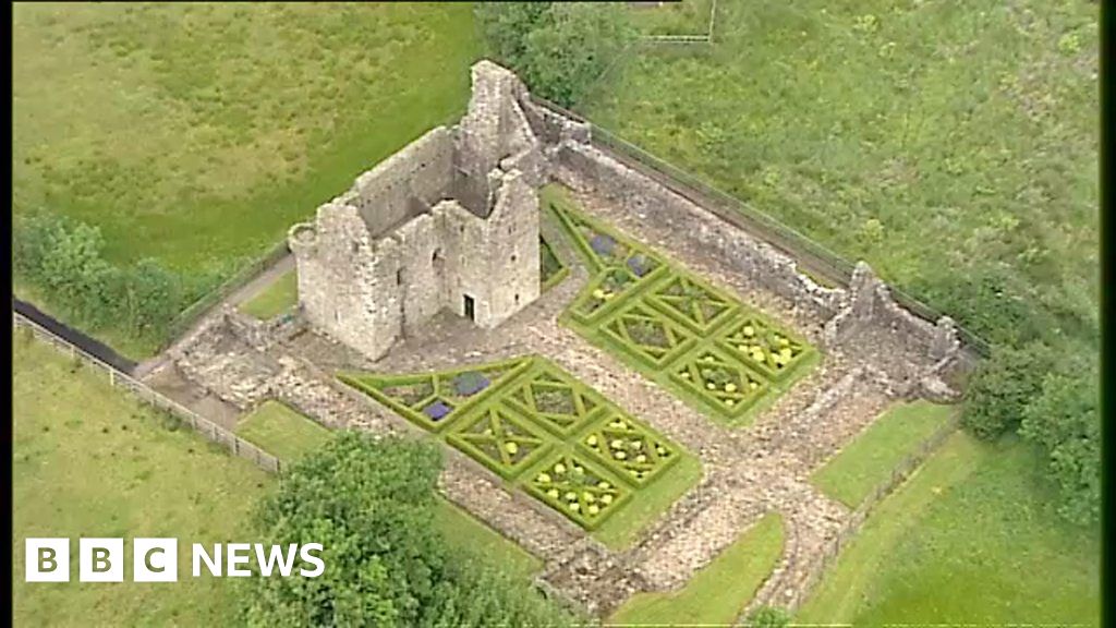 FORTIFICATION(site of) & 18th century formal garden in Castle CooleFORTIFICATION(site of) & 18th century formal garden · 1529 yd
 Coneyburrow WoodWood · 1.1 mi
 Limekiln Bog WoodWood · 1.2 mi
 Old Church RuinsRuins · 1.3 mi
 Masonic HallHall · 1.6 mi
 Cleenish IslandIsland · 1.8 mi
 War MemorialMemorial · 1.9 mi
 Remembrance Day bombingbomb attack · 1.9 mi
 Siege of Enniskillensiege · 1.9 mi