Why this matters
A local ancient tomb; wider significance not recorded.
What is recorded here
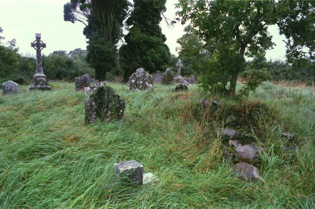
Located towards the top of the E-facing slope of a drumlin. The church of Drumbride (ME003-009----) is within a rectangular graveyard (dims c. 40m WNW-ESE; c. 32m NNE-SSW) defined by earthen banks with burials dating from c. 1780-c. 1960. The motte (ME003-010----) is c. 30m to the E.
Compiled by: Michael Moore
Date of upload: 30 July, 2014
The monument record does not grant public access. Check the route and ask the landowner before entering private land.