
What is recorded here
One chamber holds a whole village, not in grandeur but in the smallest things: a knife edge, a fish scale, a charcoal fleck. Together they say people lived there, ate there, warmed themselves there. The cave does not need to be large to be true. It needs only to have kept what others lost.
In E quadrant of Knoppoge Fort (108-01701-); evident as a depression (L 7.5m) running in N-S direction. Several large flat stones scattered along this depression may be displaced roofing slabs.
The above description is derived from the published 'Archaeological Inventory of County Cork. Volume 1: West Cork' (Dublin: Stationery Office, 1992). In certain instances the entries have been revised and updated in the light of recent research.
Date of upload/revision: 14 January 2009
The monument record does not grant public access. Check the route and ask the landowner before entering private land.
- What survives
- Recorded monument
Places near here
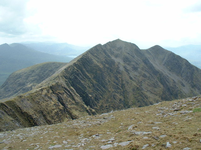 CaveMan-made underground passage · 450 yd
 Kill Burial Gd (Disused)Burial ground · 608 yd
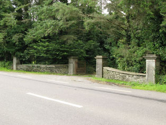 Carrigmore Housegates/railings/walls · 1345 yd
 Irish National Forestry FoundationNature reserve · 1393 yd
 Country house in Manch EastCountry house · 1622 yd
 Castle RockNamed rock · 1.3 mi
 The GlenWood · 2.7 mi
 Ballynacarriga CastleCastle, tower house · 2.9 mi
 Corran HillMountain / peak · 3.1 mi
 OCrowleys Castle (in Ruins)Castle, tower house · 3.5 mi
 Graveyard in Dunmanway NorthGraveyard · 4.9 mi
 Mount GunneryMountain / peak · 5.3 mi
Other information
Photo: Credit not shown in the picture search · Rights wording not checked; contact us if this picture should be removed