What is recorded here
In pasture, on the N bank of a stream, directly W of the main Kenmare-Lauragh road. The location of this possible fulacht fia was pointed out by the landowner as the area where he had spread material from a mound of burnt stone and black earth. The area is now planted with evergreen trees and covered by dense undergrowth, making inspection impossible. There is a burnt spread (KE109-066002-) c. 65m to the NW.
The above description is derived from the published 'Archaeological Inventory of County Kerry. Volume I: South-West Kerry' (Dublin: Stationery Office, 2009). In certain instances the entries have been revised and updated in the light of recent research.
Date of upload: 30 May 2011
The monument record does not grant public access. Check the route and ask the landowner before entering private land.
- What survives
- Recorded monument
Places near here
 Burnt spread in Drombohilly UpperBurnt spread · 69 yd
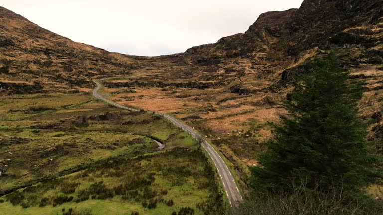 IndicatedBridge · 440 yd
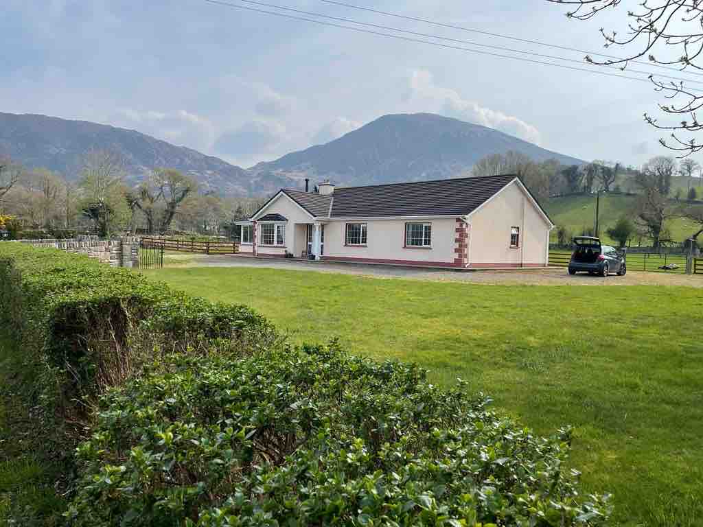 Hut site in Drombohilly LowerHut site · 825 yd
 DrombohillyMountain / peak · 1657 yd
 Ardea Br.Bridge · 1.6 mi
 KnockateeMountain / peak · 1.8 mi
 Uragh Wood Nature ReserveNature reserve · 2.3 mi
 Uragh WoodForest · 2.3 mi
 Ormond's IslandIslet · 2.4 mi
 DroppaCliff · 2.6 mi
 Gleninchaquin WaterfallWaterfall · 3.4 mi
 Gleninchaquin ParkHeritage attraction · 3.4 mi