What is recorded here
Dragh, County Fermanagh. Standing stone removed. Whether men pulled it or men forgot it, the ground keeps the shape of the hole.
The official Northern Ireland record identifies this as STANDING STONE (removed). Recorded period: PREHISTORIC; UNCERTAIN. The official map point was placed at the centre of the recorded archaeological site from the source map reference.
The monument record does not grant public access. Check the route and ask the landowner before entering private land.
- What survives
- Recorded monument
Places near here
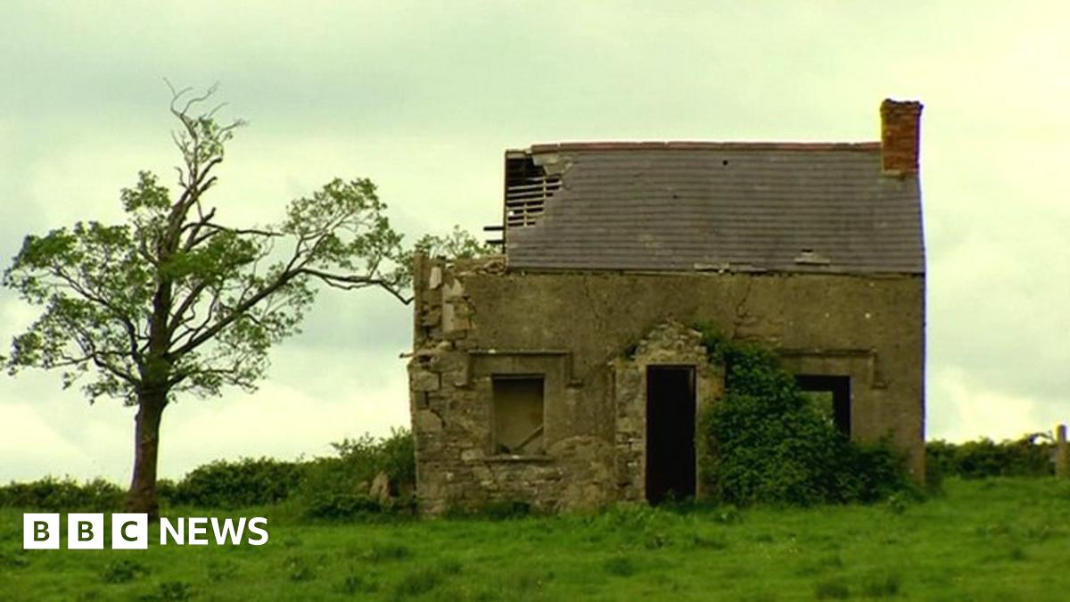 ENCLOSUREENCLOSURE, RATH? · 257 yd
 RathArchaeological place · 757 yd
 St. Ninnidh's Rc ChurchChurch · 1467 yd
 Giant's GraveArchaeological place · 1.0 mi
 InishcrevanIsland · 1.6 mi
 Bockan IslandIslet · 1.7 mi
 Lady Craigavon BridgeBridge · 2.5 mi
 Molly MountainMountain / peak · 2.8 mi
 Reilly WoodWood · 3.6 mi
 Gole WoodWood · 3.6 mi
 Inishbeg HillMountain / peak · 3.9 mi
 MEDIEVAL PARISH CHURCH; GRAVEYARD; HOLY WELL: KINAWLEY CHURCH or CELL NAILE or ST. NAILE'S WELL in LismonaghanMEDIEVAL PARISH CHURCH; GRAVEYARD; HOLY WELL: KINAWLEY CHURCH or CELL NAILE or ST. NAILE'S WELL · 4.0 mi