What is recorded here
Ulrica is a four-mast square rigger lost off County Down in 1897, her scattered wreckage still lying ten metres beneath the green water. She may have carried grain, rope or men whose names never reached shore, but the sea kept her shape long enough for a survey ship to image her in 1998. What remains is not a monument but a suggestion: a line of deck, a broken mast, a place where human pride met the patience of the ocean.
The official Northern Ireland wreck record identifies Ulrica as 4 mast square rigger. It was lost in 1897. Recorded depth: 10m. Recorded condition: Scattered wreckage. Imaged on 1998 SSS.
Ulrica was a four-masted square rigger lost in 1897 off Northern Ireland. Little is known about the wreck beyond its date and general description, though it was imaged in 1998 at a depth of 10 meters.
A wreck point does not grant access or permission to dive, enter land, disturb the site or recover anything. Check current law and local conditions first.
Places near here
 Lighthouse IslandIsland · 414 yd
 Mew IslandIsland · 1040 yd
 Mew Island LightLighthouse · 1193 yd
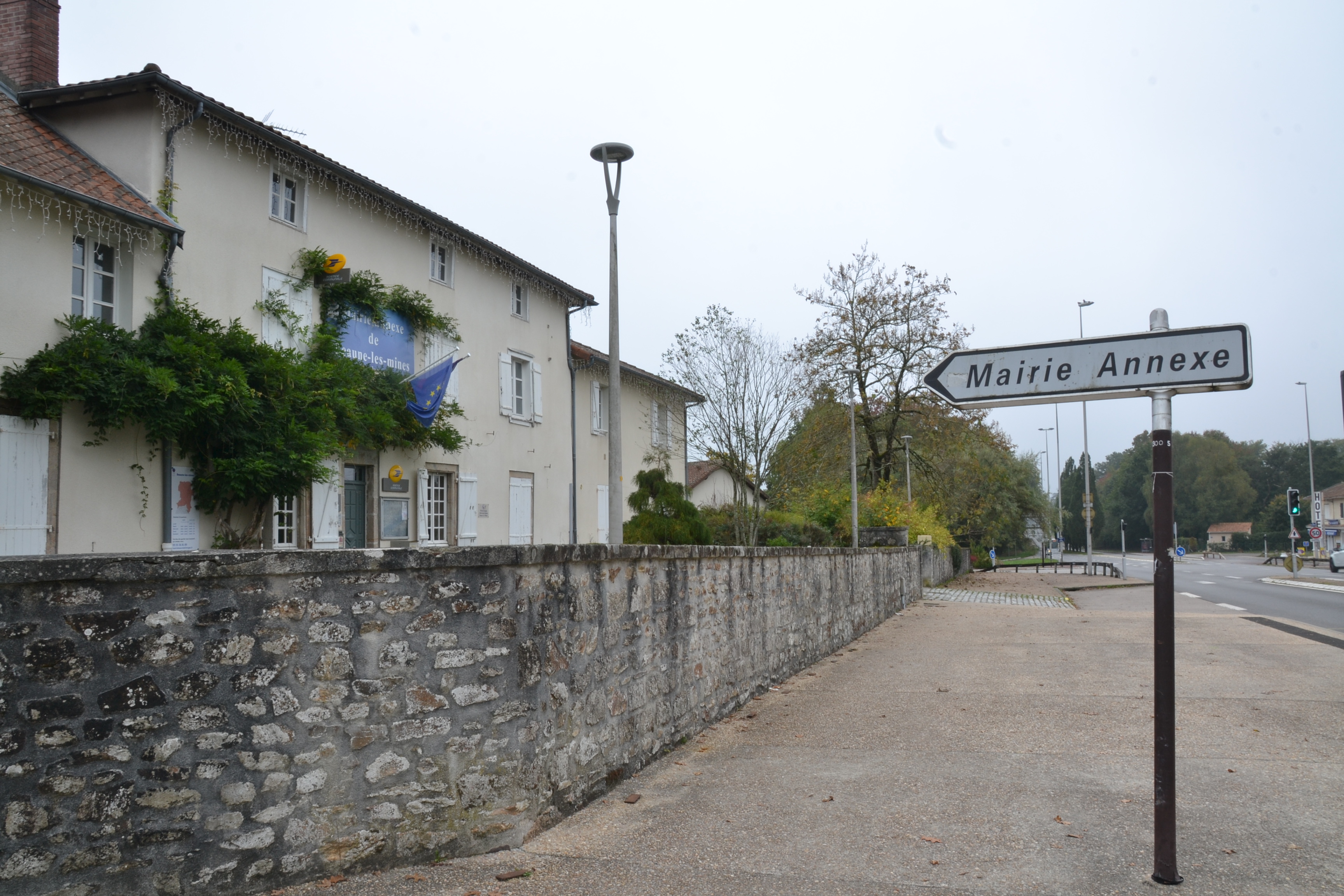 RATH & ENCLOSURE (annexe?) in BallyminetraghRATH & ENCLOSURE (annexe?) · 3.6 mi
 Donaghadee LighthouseLighthouse · 3.6 mi
 MODERN CHURCH ON SITE OF MEDIEVAL CHURCH: DONAGHADEE in DonaghadeeMODERN CHURCH ON SITE OF MEDIEVAL CHURCH: DONAGHADEE · 3.8 mi
 North Down MuseumMuseum · 6.2 mi
 Bangor CastleCastle · 6.2 mi
 Skippingstone BeachBeach / strand · 6.2 mi
 Brompton BayBeach / strand · 6.5 mi
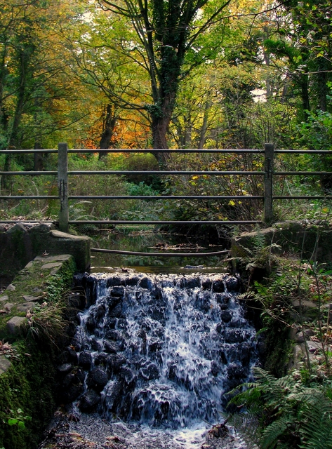 Stricklands GlenWood · 6.9 mi
 North Down Coastal PathWalking route · 7.4 mi